
Kořenec, village in Blansko District of South Moravian region
Location: obvod obce s rozšířenou působností Boskovice
Location: Blansko District
Elevation above the sea: 620 m
Shares border with: Okrouhlá, Šebetov, Horní Štěpánov, Knínice u Boskovic, Benešov
Email: starosta@korenec.cz
Website: http://korenec.cz
GPS coordinates: 49.53034,16.75397
Latest update: March 15, 2025 20:00
Skalky
4.1 km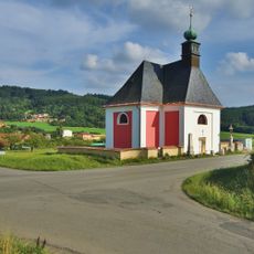
Church of the Annunciation of the Virgin Mary in Vážany
4.9 km
Meteoradar Skalky
4.1 km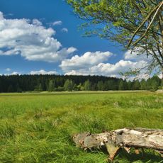
Pavlovské mokřady
3.1 km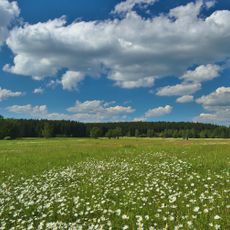
Řehořkovo Kořenecko
752 m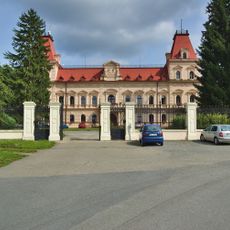
Castle Šebetov
3.4 km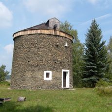
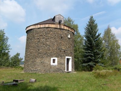
Windmill in Kořenec
218 m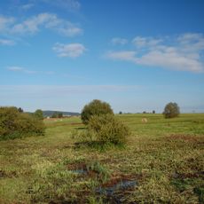
Uhliska
3.2 km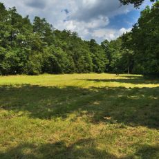
Horní Bělá
1.8 km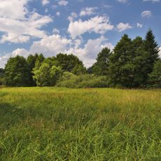
Pohorská louka
3.3 km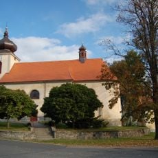
Church of Saint Lawrence
3.4 km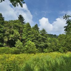
Pod Švancarkou
1.7 km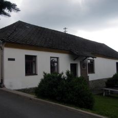
Museum Kořenec
67 m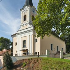
Saint Mark Church
4.3 km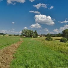
V chaloupkách
2.8 km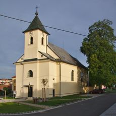
Church of the Exaltation of the Holy Cross
2.6 km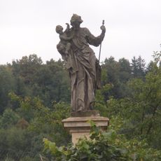
Socha svatého Josefa
3.8 km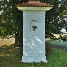
Boží muka
4.9 km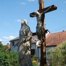
Socha Panny Marie Bolestné
3.4 km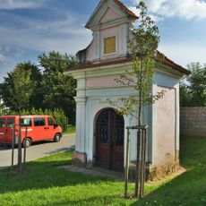
Chapel of Saint Florian
4.6 km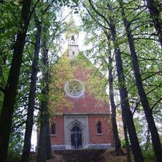
Chapel of Saint Anne
2.8 km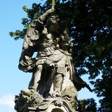
Sousoší svatého Jana Nepomuckého
3.5 km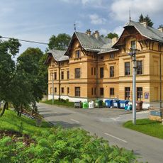
Měšťanský dům
3.3 km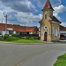
Chapel of the Assumption
4.9 km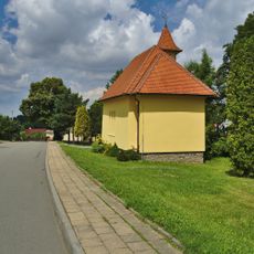
Chapel of Our Lady od Fatima
340 m
Chapel of Our Lady of Sorrows
3 km
Pohorská lipová alej
3.2 km
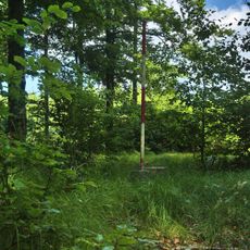
Vratíkovský kras
5 kmVisited this place? Tap the stars to rate it and share your experience / photos with the community! Try now! You can cancel it anytime.
Discover hidden gems everywhere you go!
From secret cafés to breathtaking viewpoints, skip the crowded tourist spots and find places that match your style. Our app makes it easy with voice search, smart filtering, route optimization, and insider tips from travelers worldwide. Download now for the complete mobile experience.

A unique approach to discovering new places❞
— Le Figaro
All the places worth exploring❞
— France Info
A tailor-made excursion in just a few clicks❞
— 20 Minutes