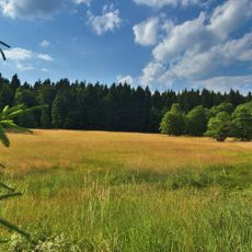
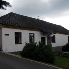
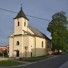
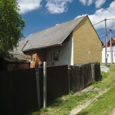
Skalky, Mountain summit in the Drahanská vrchovina, Prostějov District, Czech Republic
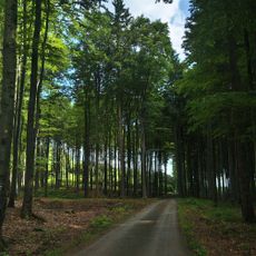
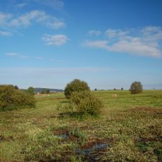
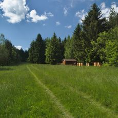
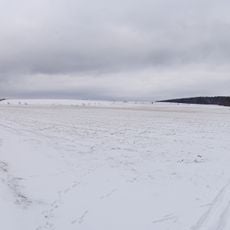
Skalky is a forested summit at 735 m, the highest point of the Drahanská vrchovina, in the Buková cadastre of the Prostějov district. A lower secondary peak, Skály (723 m), lies to its southeast, and a 35 m weather-radar tower stands 100 m west of the top at 730 m.
Because of its exposed position on the border of the Blansko and Prostějov districts, Skalky was chosen as a weather radar site from the late 1960s. Under communism only the Prague-Libuš station was built in 1971; the plan was revived in 1992, and the 35-metre tower 100 m west of the summit was approved in May 1993 and built by 1995. After trial operation the station began service on 11 April 1996.
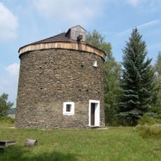
The summit lies on the border of the Blansko and Prostějov districts, and the German name Xavernruh, also Gemeindeberg, is recorded for it. At the northern foot stands the medieval deserted village of Benýška, and below the subsidiary peak Skály lies the vanished settlement of Bouchenec.
The summit is reached on foot only: a blue-marked trail runs from Pavlov (Benešov settlement) and from Skelná Huť between Žďárna and Protivanov, passing just below the top. From Protivanov a yellow trail leads on to the blue one. The weather radar tower stands about 100 m west of the summit.
A 35-metre weather radar tower stands 100 metres west of the summit at 730 m; it has recorded precipitation over Moravia and Silesia since 11 April 1996. On 14 October 1988 a MiG-21U fell from 2,500 m into the forest east of the peak, cutting a 400-metre swath; both crew members died.
The community of curious travelers
AroundUs brings together thousands of curated places, local tips, and hidden gems, enriched daily by 92,373 contributors worldwide.