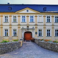
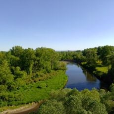
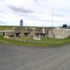
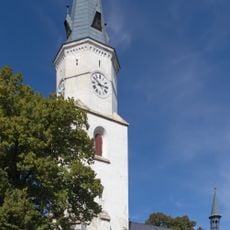
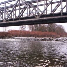
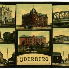
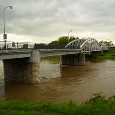
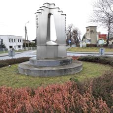
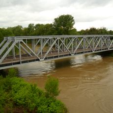
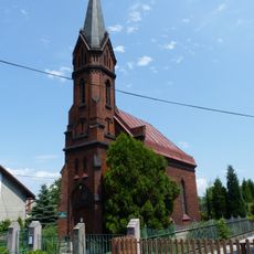
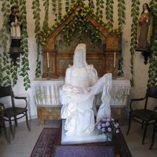
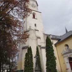
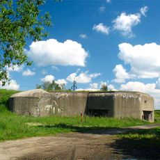
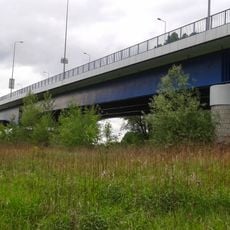
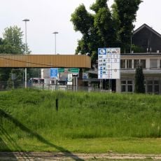
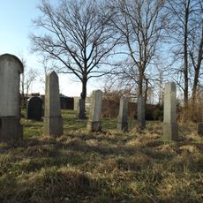
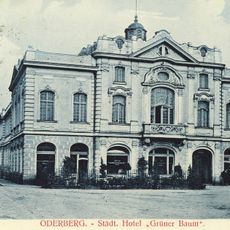
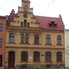
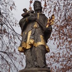
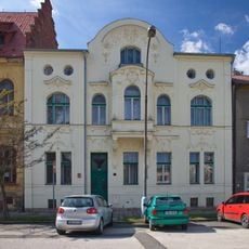
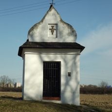
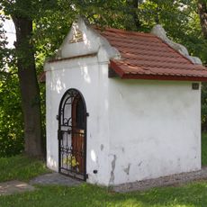
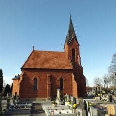
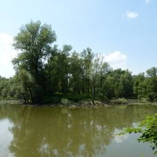
Starý Bohumín, neighborhood of Bohumín
Location: Bohumín
Elevation above the sea: 200 m
GPS coordinates: 49.91850,18.33220
Latest update: March 6, 2025 09:31
Palace in Chałupki
677 m
Pustyňa
551 m
Hraniční meandry Odry
1.4 km
MO-S 5 Na trati casemate
843 m
Church of the Nativity of the Virgin Mary in Starý Bohumín
257 m
Chałupki-Bohumín railway border crossing
734 m
Synagoge
2.2 km
Border bridge in Starý Bohumín
408 m
Memorial of Three States
1.3 km
Railway bridge in Starý Bohumín
734 m
Chapel of Holy Name of Mary
2 km
Gruftkapelle Henckel von Donnersmarck (Starý Bohumín)
241 m
Parafia Narodzenia Maryi Panny w Starym Boguminie
260 m
MO-S 4 U šedé vily casemate
1.2 km
New border bridge in Starý Bohumín
693 m
GPK in Chałupki
546 m
Jewish cemetery in Bohumín
1.8 km
Národní dům
296 m
Highway bridge by Starý Bohumín
1.2 km
MO-S 5 Na trati
827 m
Potrubní lávka přes Odru mezi Antošovicemi a Starým Bohumínem
1.3 km
Town hall in Starý Bohumín
298 m
Statue of Saint John of Nepomuk in Starý Bohumín
263 m
45 Náměstí Svobody in Starý Bohumín
300 m
Chapel Pustynia in Starý Bohumín
550 m
Chapel of the Guardian Angel in Starý Bohumín
343 m
Chapel of All Saints
329 m
Hraniční meandry Odry
736 mReviews
Visited this place? Tap the stars to rate it and share your experience / photos with the community! Try now! You can cancel it anytime.
Discover hidden gems everywhere you go!
From secret cafés to breathtaking viewpoints, skip the crowded tourist spots and find places that match your style. Our app makes it easy with voice search, smart filtering, route optimization, and insider tips from travelers worldwide. Download now for the complete mobile experience.
A unique approach to discovering new places❞
— Le Figaro
All the places worth exploring❞
— France Info
A tailor-made excursion in just a few clicks❞
— 20 Minutes