
Kraborovice, village in Havlíčkův Brod District of Vysočina region
Location: Havlíčkův Brod District
Location: Хотеборж
Elevation above the sea: 390 m
Shares border with: Vilémov, Běstvina, Uhelná Příbram, Heřmanice, Borek
Email: ou.kraborovice@worldonline.cz
Website: http://kraborovice.eu
GPS coordinates: 49.80055,15.57192
Latest update: April 4, 2025 17:15
Pařížov Dam
3.1 km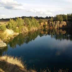
Borek
1.1 km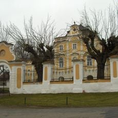
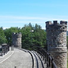
Klášter Castle
3.2 km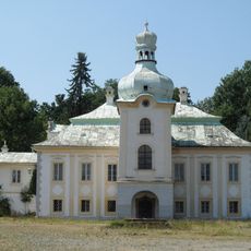
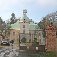
Úhrov Chateau
1.1 km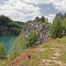
Borecká skalka
1 km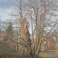
Úhrovská lípa
1.1 km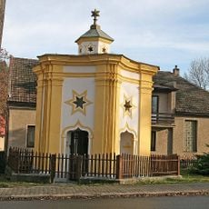
Chapel of Saint John of Nepomuk
4.4 km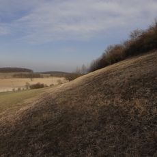
Chuchelská stráň
4.1 km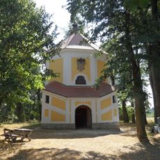
Chapel of Saint Anthony of Padua (Úhrov)
1.4 km
Platan v Běstvině
4.4 km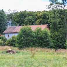
Watermill in Pařížov
3.7 km
Farní sbor Českobratrské církve evangelické ve Vilémově u Golčova Jeníkova
3.4 km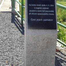
Pomník obětem zříceného mostu
3.2 km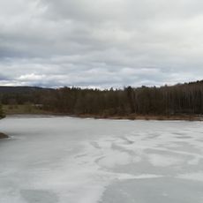
Pařížov Reservoir
3.2 km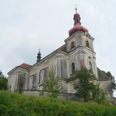
Church of Saint John the Baptist (Běstvina)
4.4 km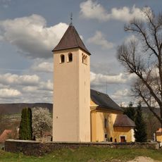
Church of Saint Mary Magdalene (Pařížov)
3.9 km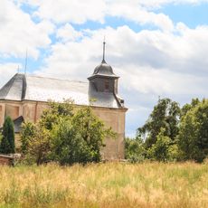
Church of Saint Bartholomew
3.3 km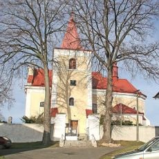
Church of Saint Michael
3.6 km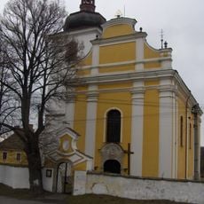
Church of Saint Wenceslaus
3.2 km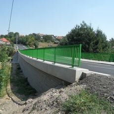
Bridge of road II/345 over the Hostačovka in Vilémov
3.2 km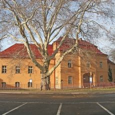
Zámek Běstvina
4.4 km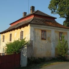
Rectory in Uhelná Příbram
3.6 km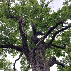
Dub u rybníka Šanda
4.2 km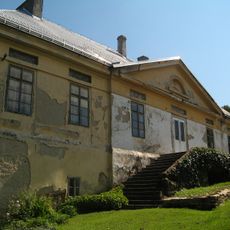
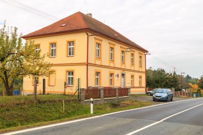
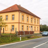
Panský dům
4.3 km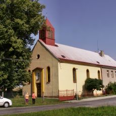
Evangelický kostel ve Vilémově
3.4 km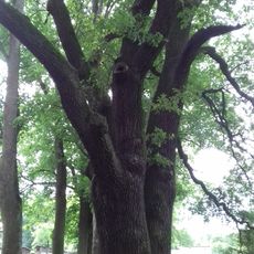
Dub u Hluboše
3.9 km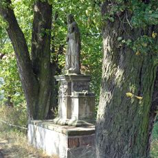
Mostek se sochou sv. Jana Nepomuckého
1.2 km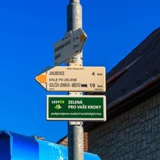
Rozcestník Vilémov
3.1 kmVisited this place? Tap the stars to rate it and share your experience / photos with the community! Try now! You can cancel it anytime.
Discover hidden gems everywhere you go!
From secret cafés to breathtaking viewpoints, skip the crowded tourist spots and find places that match your style. Our app makes it easy with voice search, smart filtering, route optimization, and insider tips from travelers worldwide. Download now for the complete mobile experience.

A unique approach to discovering new places❞
— Le Figaro
All the places worth exploring❞
— France Info
A tailor-made excursion in just a few clicks❞
— 20 Minutes