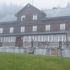
Łysocina, Mountain summit in Malá Úpa, Czech Republic and Poland.
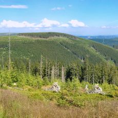
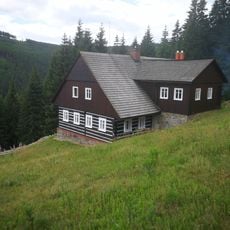
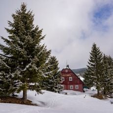
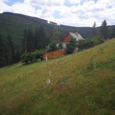
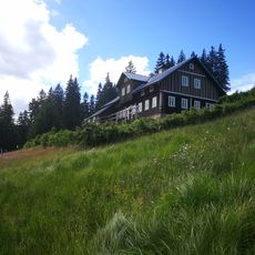
Łysocina is a mountain peak reaching 1190 meters in elevation as part of the Maloúpská rozsocha range. The summit features forested slopes mixed with exposed rock outcrops and sits directly on the border between two countries.
The mountain developed through tectonic activity over millions of years as part of the Sudetes range. Its current shape was shaped by erosion and ice-age processes that left the exposed rock formations visible today.
The ridge carries the state border, and the peak's names differ on each side: Łysocina in Polish, Lysečinská hora in Czech, Kolbenberg in German. A ski lift from Horní Malá Úpa ends about 500 m north of the summit, and a camera on one of its pylons films footage for Czech Television's Panorama programme.
No marked road leads over the summit, only footpaths; the main marked trail crosses the eastern slope from Lubawka to Przełęcz Okraj. A ski lift from Horní Malá Úpa ends about 500 metres north of the top, where a camera on one of its pylons films for Czech Television's Panorama programme. The western, Czech slope lies within Krkonoše National Park.
The summit marks the main European watershed between the North Sea and the Baltic Sea. Streams on the southwest slope feed the Malá Úpa, while those on the east drain into the Bóbr. About 500 m north stands the top station of a ski lift from Horní Malá Úpa, with a camera on one mast filming for Czech Television's Panorama.
The community of curious travelers
AroundUs brings together thousands of curated places, local tips, and hidden gems, enriched daily by 94,135 contributors worldwide.