
Bartošovický luh, protected area in Czech Republic
Location: Bartošovice
Inception: January 23, 2003
GPS coordinates: 49.67210,18.01620
Latest update: March 10, 2025 04:09
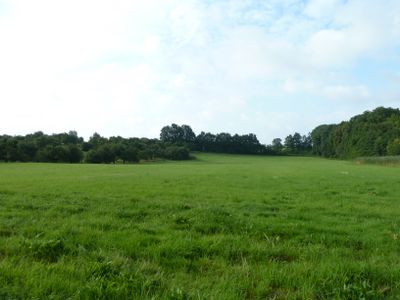
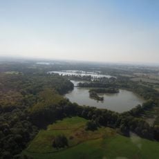
Poodří Protected Landscape Area
4.4 km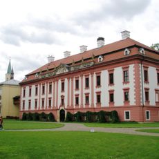
Kunin Castle
3.8 km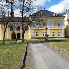
Castle in Nová Horka
4.5 km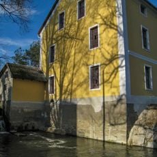
Bartošovice mill
2.4 km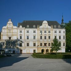
Castle in Bartošovice
2.5 km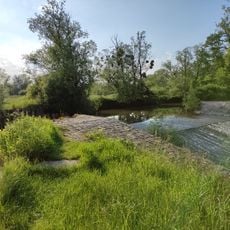
Jez v Bartošovicích
2.3 km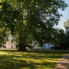
Bartošovický platan
2.5 km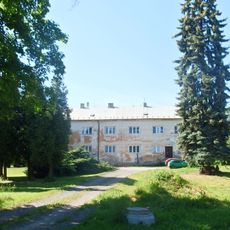
Hukovice
2.4 km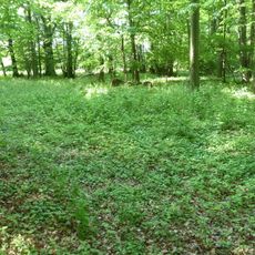
Pusté nivy
1.6 km
Hladké Životice (train station)
2.3 km
Pustějov Castle
3.6 km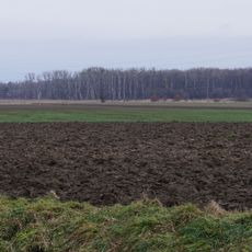
Koryta
3.6 km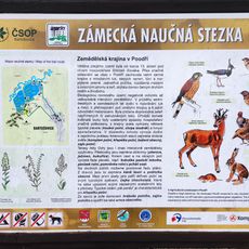
Zámecká Educational Trail
2.3 km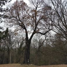
Dub v zámeckém parku
4.6 km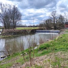
Weir Studénka
4.8 km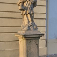
Statue of John of Nepomuk nearby the church in Kunín
3.8 km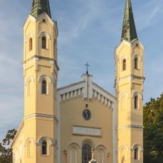
Church of Exaltation of the Holy Cross
3.8 km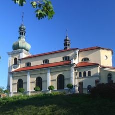
Church of Saint Andrew and Saints Peter and Paul
2.6 km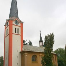
Church of Saint Nicholas
4.3 km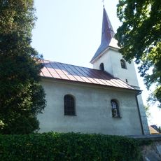
Church of the Visitation of the Virgin Mary
2.5 km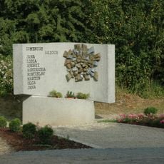
2008 Studénka train disaster memorial
4.5 km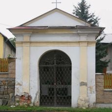
Chapel of Saint Anthony of Padua
2.6 km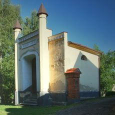
Hrobka rodiny Meinertů
2.6 km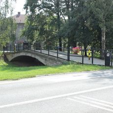
Most přátelství Leimen - Kunín
3.9 km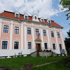
Fara
2.7 km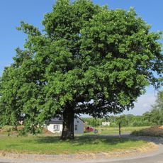
Oak near Kunín
4.7 km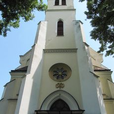
Church of Saint Mary Magdalene
3 km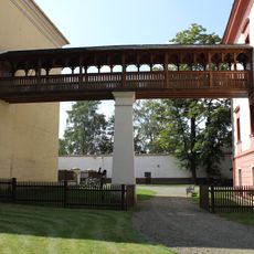
Covered bridge to the Church of Exaltation of the Holy Cross in Kunín Castle
3.8 kmReviews
Visited this place? Tap the stars to rate it and share your experience / photos with the community! Try now! You can cancel it anytime.
Discover hidden gems everywhere you go!
From secret cafés to breathtaking viewpoints, skip the crowded tourist spots and find places that match your style. Our app makes it easy with voice search, smart filtering, route optimization, and insider tips from travelers worldwide. Download now for the complete mobile experience.

A unique approach to discovering new places❞
— Le Figaro
All the places worth exploring❞
— France Info
A tailor-made excursion in just a few clicks❞
— 20 Minutes