Krušnohorská hornatina, Mountain range along Czech Republic and Germany border.
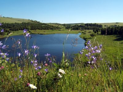
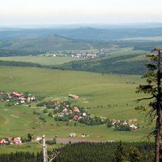
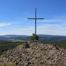
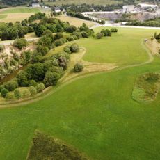
Krušnohorská hornatina is a mountain range stretching along the border between the Czech Republic and Germany. The massif rises to its highest point and features forested slopes, deep valleys, and varied ridgelines across its terrain.
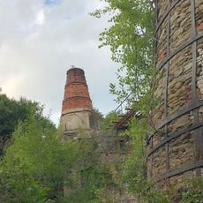
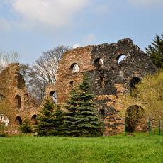
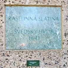
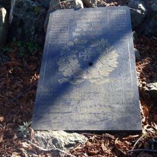
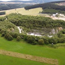
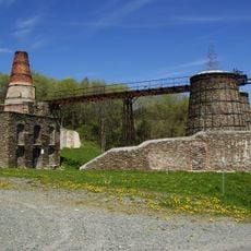
The region was exploited for its mineral wealth starting in medieval times, making mining a dominant economic activity. These extraction operations left lasting marks on the landscape and shaped the development of surrounding communities for centuries.
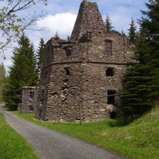
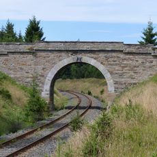
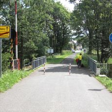
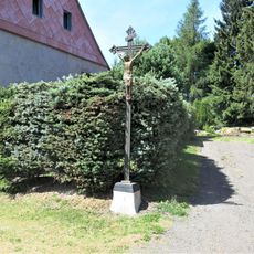
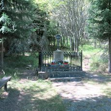
The mountain range has long brought together people from both sides of the border through hiking and outdoor activities. You will notice this shared passion in how trails are maintained and how communities gather at mountain villages.
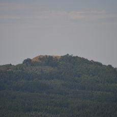
The area is crisscrossed with marked hiking trails open year-round, with ski options available during winter months. Access points are scattered throughout, offering gentle routes for beginners alongside more demanding paths for experienced hikers.
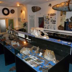
The range contains a complex mix of sandstone, granite, and gneiss formations that create varied habitats. These geological differences support specialized plant and animal species found nowhere else in the surrounding mountain regions.
Part of: Erzgebirgs-Subprovinz
GPS coordinates: 50.44167,13.05000
Latest update: December 14, 2025 14:42
Kalkwerk Hammerunterwiesenthal
3 km
Lime kiln in Loučná pod Klínovcem
2.6 km
Spitz-Berg
3.3 km
Hornická kulturní krajina Háj – Kovářská – Mědník
2.5 km
Church of the Sacred Heart
3.2 km
Church of Saint Michael
382 m
Church of Saint Elisabeth of Hungary
2.4 km
Most přes železniční trať východně od Kovářské
2.3 km
Uhelna
713 m
Maria Column in Kovářská
384 m
Rectory in Kovářská
377 m
Pomník Švédský hrob u silnice západně od Kovářské
2 km
Pomník padlým u kostela v Českých Hamrech
2.4 km
Grenzbrücke Hammerunterwiesenthal – České Hamry
2.9 km
Kirche mit Kirchhof, Einfriedung und Kirchhofstor sowie Aufbahrungshalle Oberwiesenthaler Straße -
2.7 km
Pomník padlým z 1. světové války v Horní Halži
3.7 km
Kříž u domu 38 v Kovářské
711 m
Pomník padlým naproti kostelu v Kovářské
418 m
Betonová plastika u obchodu v na náměstí v Kovářské
398 m
Kříž u silnice severně od Kovářské
1.6 km
Plastika z kamene a kovu v parku na náměstí Jana Švermy v Kovářské
452 m
Kříž na vrcholu Velkého Špičáku
3.3 km
Kalkbruch Hammerunterwiesenthal
3.5 km
Kalkwerk Hammerunterwiesenthal (Sachgesamtheit) Hammerunterwiesenthal
3.1 km
Muzeum letecké bitvy nad Krušnohořím
353 m
Kříž u domu 32 v Českých Hamrech
2.4 km
Pomník pohraničníka v Českých Hamrech
2.1 km
Kalkbruch Hammerunterwiesenthal
3.3 kmVisited this place? Tap the stars to rate it and share your experience / photos with the community! Try now! You can cancel it anytime.
Discover hidden gems everywhere you go!
From secret cafés to breathtaking viewpoints, skip the crowded tourist spots and find places that match your style. Our app makes it easy with voice search, smart filtering, route optimization, and insider tips from travelers worldwide. Download now for the complete mobile experience.
A unique approach to discovering new places❞
— Le Figaro
All the places worth exploring❞
— France Info
A tailor-made excursion in just a few clicks❞
— 20 Minutes