
Kuklov, village in Český Krumlov District of South Bohemian Region, Czechia
Location: Brloh
Elevation above the sea: 720 m
GPS coordinates: 48.93220,14.18190
Latest update: March 10, 2025 18:26
Brložsko
2.8 km
Dobročkovské hadce
1.9 km
Malá skála
2.6 km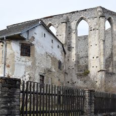
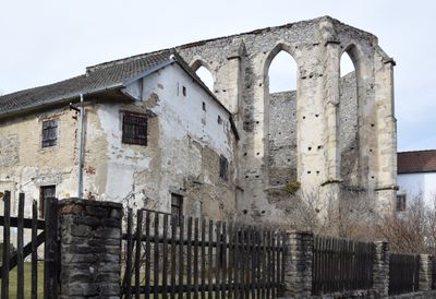
Church of Saint Andrew
47 m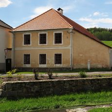
Usedlost čp. 42
2.8 km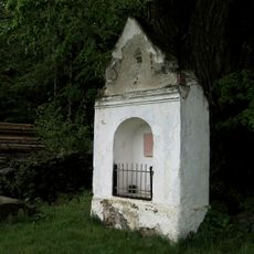
Výklenková kaplička
704 m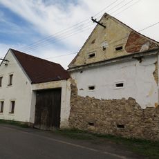
Usedlost čp. 12
2.7 km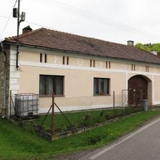
Usedlost čp. 11
2.7 km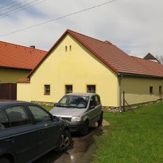
Usedlost čp. 10
2.7 km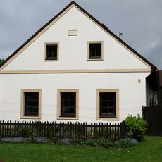
Usedlost čp. 7
2.6 km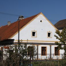
Usedlost čp. 5
2.6 km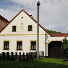
Usedlost čp. 85
2.6 km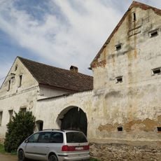
Usedlost čp. 16
2.8 km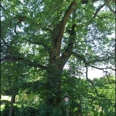
Kuklovský dub
649 m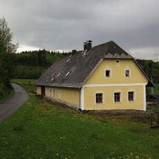
Usedlost čp. 24
2.1 km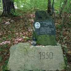
1950 memorial in Brloh
462 m
Wayside cross in the west of Brloh
2.5 km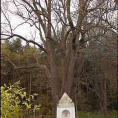
Kuklwaitská lípa
706 m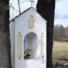
Niche chapel in Kuklov
150 m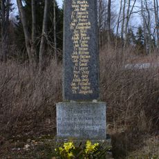
Memorial in Kuklov
116 m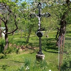
Wayside cross at No. 24 Brloh - Sedm Chalup
1.8 km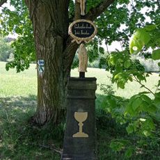
Wayside cross at Brloh - Špatenka
630 m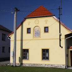
Venkovská usedlost, Brloh č.p. 9
2.7 km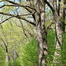
Oak tree avenue in Brloh
717 m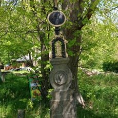
Wayside cross in Kuklov
103 m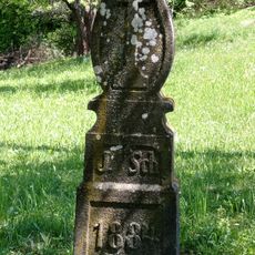
Wayside cross at No. 1 Brloh - Sedm Chalup
1.8 km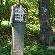
Column shrine with a lantern in Brloh
1.8 km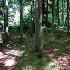
Stržíšek hill fort
2.1 kmReviews
Visited this place? Tap the stars to rate it and share your experience / photos with the community! Try now! You can cancel it anytime.
Discover hidden gems everywhere you go!
From secret cafés to breathtaking viewpoints, skip the crowded tourist spots and find places that match your style. Our app makes it easy with voice search, smart filtering, route optimization, and insider tips from travelers worldwide. Download now for the complete mobile experience.

A unique approach to discovering new places❞
— Le Figaro
All the places worth exploring❞
— France Info
A tailor-made excursion in just a few clicks❞
— 20 Minutes