
Dub Další Lhota, memorable tree in Český Krumlov District, Czech Republic
Location: Horní Planá
Height: 25 m
GPS coordinates: 48.75032,14.01490
Latest update: April 2, 2025 09:48
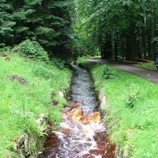
Schwarzenbergischer Schwemmkanal
5 km
Tajvan
3.6 km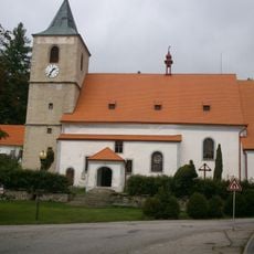
Church of Saint Margaret in Horní Planá
2.4 km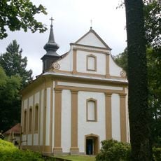
Church of Our Lady of Sorrows
2.7 km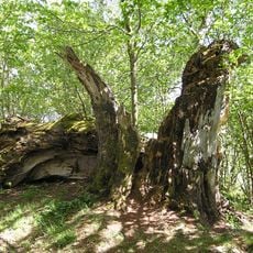
Stifter-Buche
3.1 km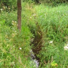
Házlův kříž
4 km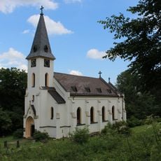
Church of Saint John of Nepomuk (Zvonková)
3.8 km
Prameniště Hamerského potoka u Zvonkové
4.2 km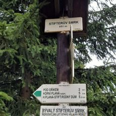
Stifterův smrk
3.6 km
Monument to Adalbert Stifter in Horní Planá
2.5 km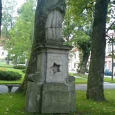
Socha svatého Jana Nepomuckého
2.3 km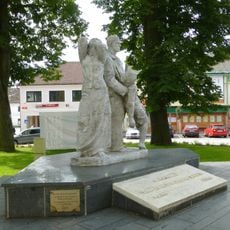
Pomník obětem pochodu smrti v dolní části náměstí v Horní Plané
2.2 km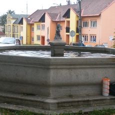
Kašna II.
2.2 km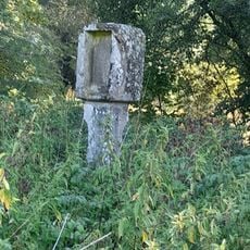
Boží muka u Jenišova
2 km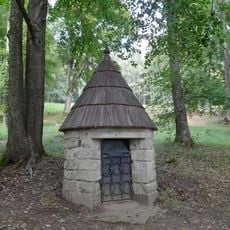
Studna Dobrá Voda v Horní Plané
2.7 km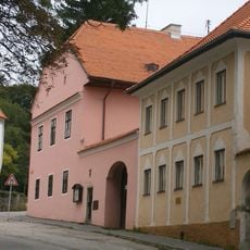
Rectory in Horní Planá
2.4 km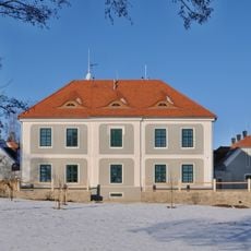
Myslivna
668 m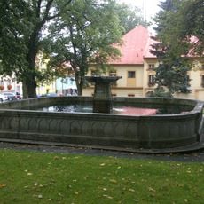
Kašna I.
2.3 km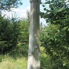
Krucifix
4.1 km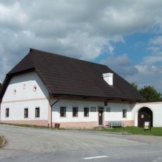
Rodný dům Adalberta Stiftera
2.3 km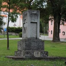
Pomník padlým v I. sv. válce v horní části náměstí v Horní Plané
2.3 km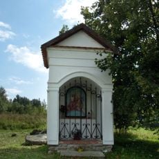
Kaplička
3.6 km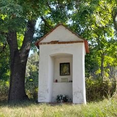
Výklenková kaplička
2.9 km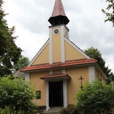
Chapel in Pernek
4.9 km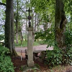
Kříž u zaniklého Huťského Dvora
3.5 km
Lípa na Dobré Vodě
2.7 km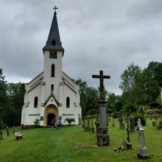
Hřbitov Zadní Zvonková
3.8 km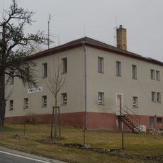
Škola Pernek
4.7 kmReviews
Visited this place? Tap the stars to rate it and share your experience / photos with the community! Try now! You can cancel it anytime.
Discover hidden gems everywhere you go!
From secret cafés to breathtaking viewpoints, skip the crowded tourist spots and find places that match your style. Our app makes it easy with voice search, smart filtering, route optimization, and insider tips from travelers worldwide. Download now for the complete mobile experience.

A unique approach to discovering new places❞
— Le Figaro
All the places worth exploring❞
— France Info
A tailor-made excursion in just a few clicks❞
— 20 Minutes