
Lípa Spáleniště, memorable tree in Český Krumlov District, Czech Republic
Location: Přední Výtoň
Height: 31 m
GPS coordinates: 48.59212,14.17546
Latest update: March 22, 2025 12:03
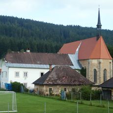
Church of Saint Ulrich
5.8 km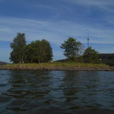
Králičí ostrov
5 km
Bärenberg
4.8 km
Rašeliniště Kapličky
3.4 km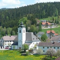
Sankt Peter und Paul
5.5 km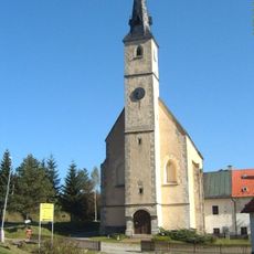
Church of Saints James and Philip
4.6 km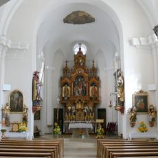
St.Erhard
6 km
Spáleniště
1.3 km
Medvědí hora
4.8 km
Uhlířský vrch
5.5 km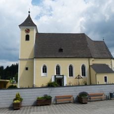
Sankt Stefan am Walde - Parish church
6 km
Multerberské rašeliniště
2.9 km
Niva Horského potoka II
5.5 km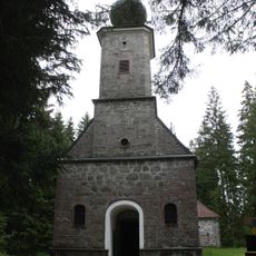
Forest chapel Maria Rast
3.7 km
Chapel of Saint Procopius
6 km
Socha Lipenská víla u cyklostezky z Lipna do Frymburka
5.3 km
Kaplička u silnice v severní části Přední Výtoně
4.9 km
Braukeller Hinterweissenbach
2.2 km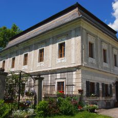
Neues Löfflergut, Vorderweißenbach
2 km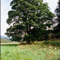
Mléč Přední Výtoň
4.5 km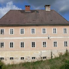
Bürgerspital Helfenberg
5.7 km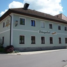
Ehem. Braugasthof, Gasthof Mascher
5.5 km
Altes Löfflergut, Hinterweißenbach
2.1 km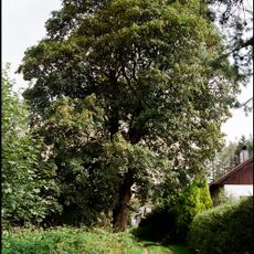
Klen Přední Výtoň
4.4 km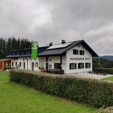
Helfenberger Hütte
4.2 km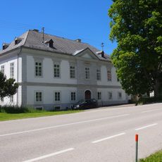
Taverne Hinterweißenbach
2.2 km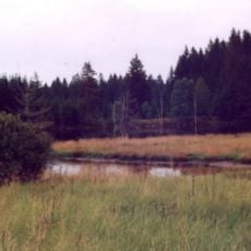
Rašeliniště Kapličky
3.6 km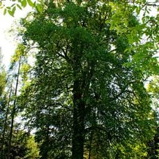
Winterlinde von Oberweißenbach
5.4 kmVisited this place? Tap the stars to rate it and share your experience / photos with the community! Try now! You can cancel it anytime.
Discover hidden gems everywhere you go!
From secret cafés to breathtaking viewpoints, skip the crowded tourist spots and find places that match your style. Our app makes it easy with voice search, smart filtering, route optimization, and insider tips from travelers worldwide. Download now for the complete mobile experience.

A unique approach to discovering new places❞
— Le Figaro
All the places worth exploring❞
— France Info
A tailor-made excursion in just a few clicks❞
— 20 Minutes