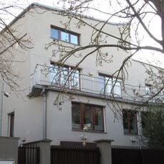
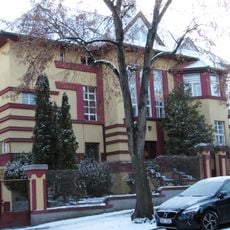
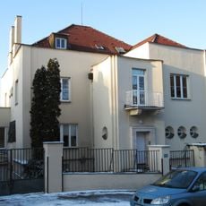
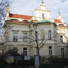
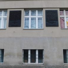
Military Cartographic Institute, Cultural monument in Bubeneč, Czech Republic.
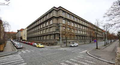
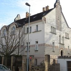
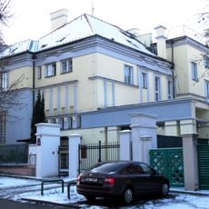
The Military Cartographic Institute is a building in Prague district 6 dedicated to military mapping and the processing of geographic information. It functions as a specialized center with archives, map collections, and departments that manage and produce cartographic materials.
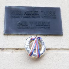
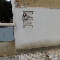
The institute was established to centralize mapping work for the Czech military and was designed by architect Bedřich Feuerstein. Its development reflects the modernization of military cartography during the 20th century.
The institute holds extensive map collections from different periods of Czech military history, showing how cartography evolved over time. These documents serve as records of how territory and geography were understood and represented by those who made them.
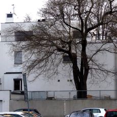
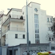
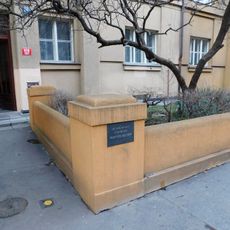
The building is located in the Bubeneč neighborhood and can be reached by public transportation from central Prague. Visitors should check in advance whether tours are available, as it is an institution with specific access requirements.
The collection includes maps spanning multiple centuries, some showing territorial boundaries that no longer exist today. These historical maps offer insights into the geographic changes that shaped Europe and surrounding regions.
The community of curious travelers
AroundUs brings together thousands of curated places, local tips, and hidden gems, enriched daily by 60,000 contributors worldwide.