Mining cultural landscape Krupka, Mining cultural landscape in Krupka, Czech Republic
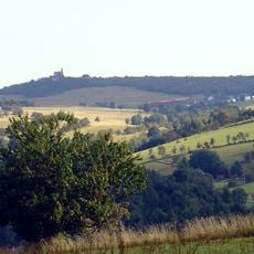
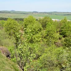
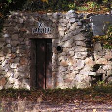
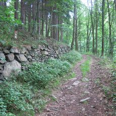
The mining cultural landscape of Krupka spreads across mountains with hundreds of shafts, sinkholes, and tunnel entrances scattered across the slopes. The terrain bears visible marks from over 700 years of extraction work.
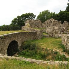
Tin extraction began here in the 13th century, establishing Krupka as the oldest tin mining district in the Erzgebirge mountains. The region peaked in the 15th and 16th centuries when thousands of workers mined daily.
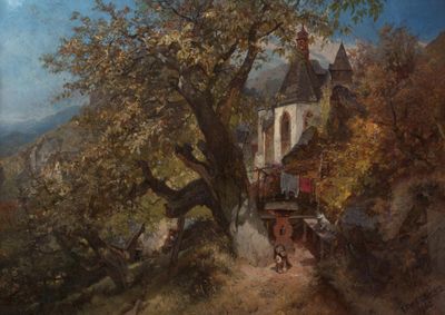
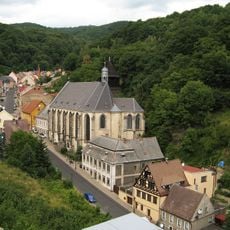
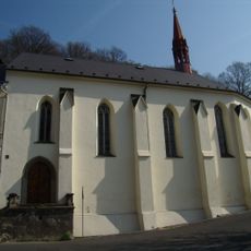
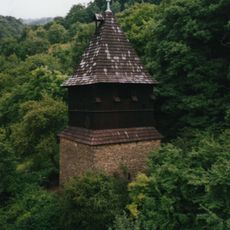
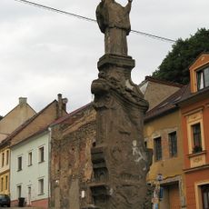
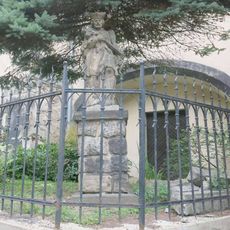
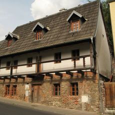
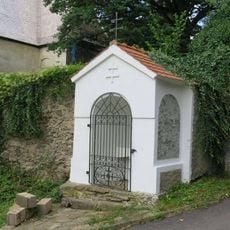
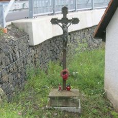
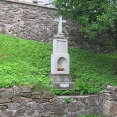
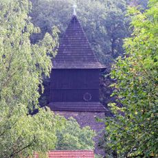
Mining families shaped the region for generations, leaving their mark on how settlements were built and organized. The towns still reflect how mining work structured daily life and community patterns.
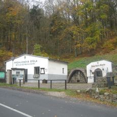
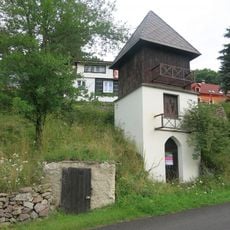
The landscape is best explored on foot, with walking paths connecting major mining sites. A visitor center offers exhibits and information to help understand how mining operations worked here.
The Große Pinge, a massive sinkhole about 140 by 45 meters across and 75 meters deep, shows how profoundly mining changed the land. This enormous depression formed over centuries as miners extracted tin and copper below.
Location: Bohosudov
Location: Fojtovice
GPS coordinates: 50.69665,13.85257
Latest update: December 14, 2025 14:23
Komáří hůrka
1.1 km
Krupka Castle
1.3 km
Church of the Assumption of the Virgin Mary
1.2 km
Štola Starý Martin
419 m
Velká pinka na Komáří hůrce
1.3 km
Revír Knötel
1.1 km
Church of the Holy Spirit
1.3 km
Římskokatolická farnost Krupka
1.2 km
Hornická stezka
167 m
Statue of Francis Xavier in Krupka
1.1 km
Naučná stezka Po stopách horníků
1.2 km
Chapel of Saint Wolfgang (Komáří hůrka)
1.1 km
Pomník doktora Ferdinanda Arlta v Krupce
1.2 km
Church of Saint Wenceslaus
1.5 km
Dům čp. 21
1.1 km
Dům čp. 24
1.1 km
Socha svatého Jana Nepomuckého u kostela Nanebevzetí v Krupce
1.2 km
Kovárna
1.5 km
Goethův pomník na hradě v Krupce
1.3 km
Polodřevěná zvonice v Horní Krupce
728 m
Kaplička v ulici Libušín u kostela svaté Anny v Krupce
1.5 km
Kříž v Horní Krupce u odbočky na starou hornickou stezku
667 m
Kříž v Horní Krupce
823 m
Church of the Assumption of the Virgin Mary
1.2 km
Kaplička se sochou Piety u kostela Nanebevzetí v Krupce
1.2 km
Infocentrum hornické krajiny Krupka
1.1 km
Kříž v Husitské ulici v horní části Krupky
560 m
Kříž u rozcestí na Komáří vížku nad Fojtovicemi
1.1 kmVisited this place? Tap the stars to rate it and share your experience / photos with the community! Try now! You can cancel it anytime.
Discover hidden gems everywhere you go!
From secret cafés to breathtaking viewpoints, skip the crowded tourist spots and find places that match your style. Our app makes it easy with voice search, smart filtering, route optimization, and insider tips from travelers worldwide. Download now for the complete mobile experience.
A unique approach to discovering new places❞
— Le Figaro
All the places worth exploring❞
— France Info
A tailor-made excursion in just a few clicks❞
— 20 Minutes