
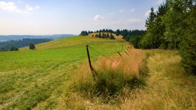
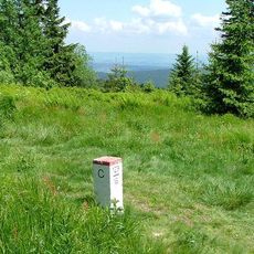
Panský vrch, special area of conservation in the Czech Republic
Location: Olešnice v Orlických horách
GPS coordinates: 50.37919,16.32634
Latest update: March 5, 2025 19:35
Hohe Mense
3.8 km
Lordship of Hummel
2.9 km
Skutina
3.7 km
N-S 47 Jaroslav
3.5 km
Gomoła
2.9 km
Schroniska na Orlicy
3.8 km
N-Sk-S 48 U stodol casemate
3.4 km
Pod Vrchmezím
3.4 km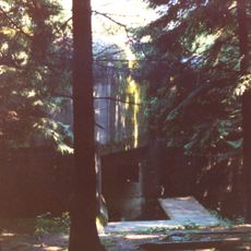
N-Sk-S 49 Pod lesem casemate
3.4 km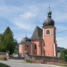
Saint Michael Archangel church in Lewin Kłodzki
3.7 km
Hořečky
2.8 km
Church of Saint Mary Magdalene (Olešnice v Orlických horách)
1.3 km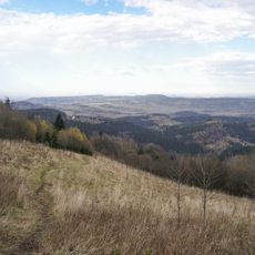
Sołtysia Kopa
3.7 km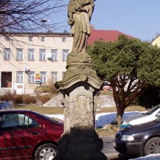
Socha svatého Jana Nepomuckého
1.3 km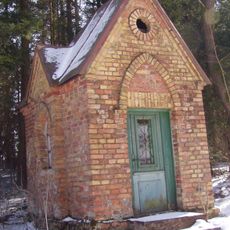
Chapel of Virgin Mary
3.1 km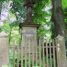
Socha svatého Jana Nepomuckého
813 m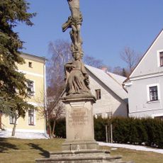
Krucifix s Pannou Marií Bolestnou
1.3 km
20 Kościuszki Square in Lewin Kłodzki
3.9 km
Zámeček Olešnice v Orlických horách
1.3 km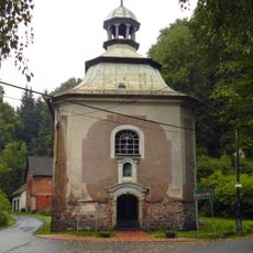
Saint John of Nepomuk chapel in Lewin Kłodzki
2.7 km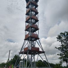
Rozhledna Feistův kopec
640 m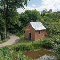
Chapel in Jerzykowice Małe
1.6 km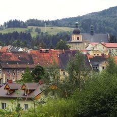
Ośrodek historyczny miasta Lewin Kłodzki
3.9 km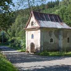
Chapel in Jawornica
1.7 km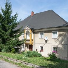
6 Kościelna Street in Lewin Kłodzki
3.8 km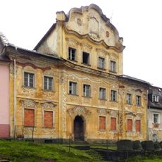
18 Kościuszki Square in Lewin Kłodzki
3.8 km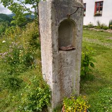
Kaplička nad Olešnicí
1.2 km
Kříž nad Hartmanovem
647 mReviews
Visited this place? Tap the stars to rate it and share your experience / photos with the community! Try now! You can cancel it anytime.
Discover hidden gems everywhere you go!
From secret cafés to breathtaking viewpoints, skip the crowded tourist spots and find places that match your style. Our app makes it easy with voice search, smart filtering, route optimization, and insider tips from travelers worldwide. Download now for the complete mobile experience.

A unique approach to discovering new places❞
— Le Figaro
All the places worth exploring❞
— France Info
A tailor-made excursion in just a few clicks❞
— 20 Minutes