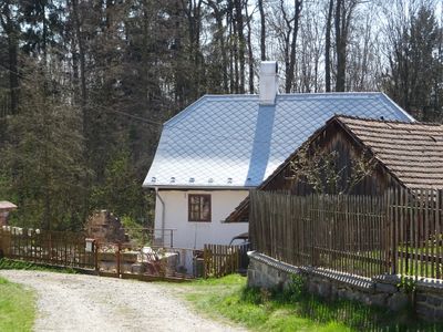
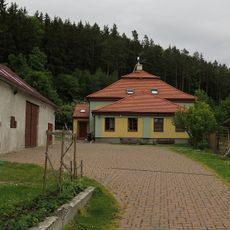
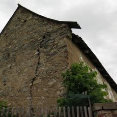
Panský mlýn, Watermill in Starosedlský Hrádek, Czech Republic.
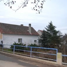
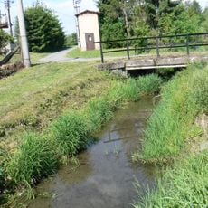
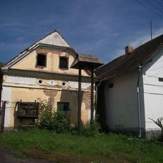
Panský Mlýn is a mill complex on Hrádecký Stream below Hrádecký Pond, consisting of a two-story residential building, farming structures, and a water channel system. The site preserves traditional Czech mill architecture with original structural elements and perimeter walls.
The complex was leased in 1717 by the Březnice Jesuit College to Václav Kott and came under the Škola family in 1754 from a neighboring independent mill. These ownership changes reflect the shifting economics between Church institutions and local families during the 18th century.
The mill complex shows how a typical Czech countryside milling operation was organized with its functional buildings and defensive walls. Visitors can observe the working spaces that reveal how such facilities operated across generations.
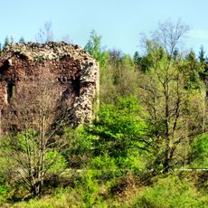
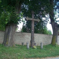
The mill sits at the western edge of the village near the location of a former fortress and is easily accessible on foot from the village center. The grounds remain open to view and the stream nearby provides orientation for visitors exploring the complex.
The site retains its original Francis turbine made by Union, a horizontal water-wheel system that could generate substantial power under ideal conditions. This machinery element is notably preserved and demonstrates engineering from the late 19th century.
The community of curious travelers
AroundUs brings together thousands of curated places, local tips, and hidden gems, enriched daily by 60,000 contributors worldwide.