
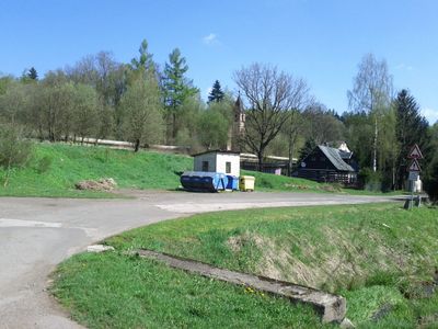
Slavětín, settlement in Radvanice, Czech Republic
Location: Radvanice
Elevation above the sea: 580 m
GPS coordinates: 50.57500,16.02610
Latest update: March 22, 2025 08:32
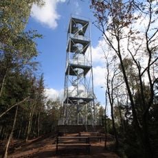
Rozhledna Žaltman
3.1 km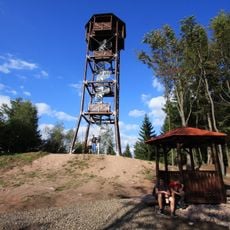
Slavětínská rozhledna
980 m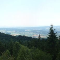
Hexenstein
3.1 km
Soubor mostů v Poříčí
4.4 km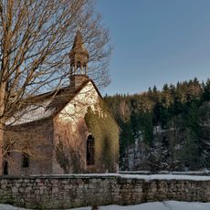
Saint Michael Archangel church in Okrzeszyn
3.6 km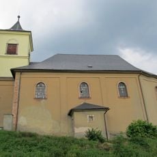
Church of Saint John the Baptist
1.9 km
Žaltman
2.8 km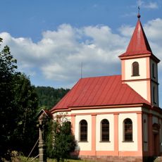
Chapel of the Holy Family (Petříkovice)
3.5 km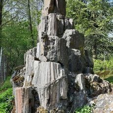
Kudlich-Denkmal
1.4 km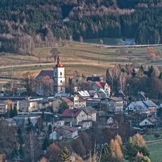
Church of Saint James the Greater in Chvaleč
2.5 km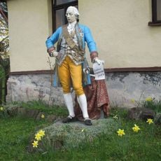
Socha císaře Josefa II v Markoušovicích
1.1 km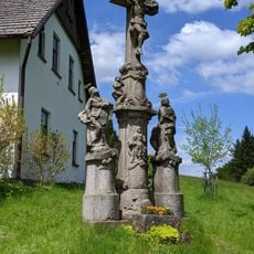
Soubor soch
2.6 km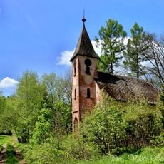
Church of Saint Joseph in Slavětín
117 m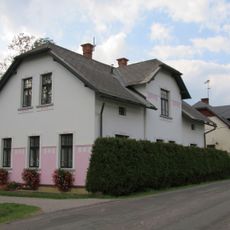
Dům čp. 52
4.4 km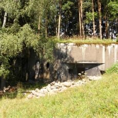
T-S 54 Nad dráhou casemate
3 km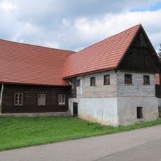
Usedlost čp. 1
2.1 km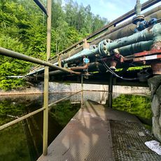
Koutecká lávka
4.3 km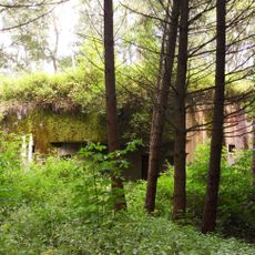
T-S 56 U strže casemate
3.7 km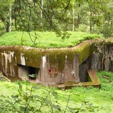
T-S 55 Na stráni casemate
3.5 km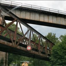
Bridge of railway line 032 over Petříkovická street
4.4 km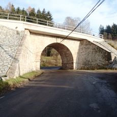
Železniční most přes Svatoňovickou ulici v Bohuslavicích
4.3 km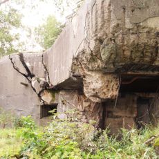
T-S 53 Na výhledech casemate
2.6 km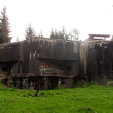
T-S 44 Na pahorku casemate
1.1 km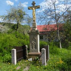
Kříž v Markoušovicích u turistického rozcestníku
1.1 km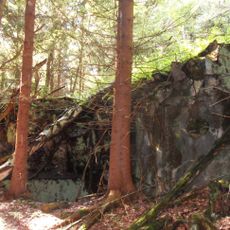
T-S 57 U smrku casemate
4.3 km
Most trati Trutnov – Teplice nad Metují přes Petříkovickou ulici
4.4 km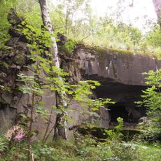
T-S 52b Na skále casemate
2.3 km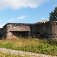
T-S 43 Pod lesem casemate
786 mReviews
Visited this place? Tap the stars to rate it and share your experience / photos with the community! Try now! You can cancel it anytime.
Discover hidden gems everywhere you go!
From secret cafés to breathtaking viewpoints, skip the crowded tourist spots and find places that match your style. Our app makes it easy with voice search, smart filtering, route optimization, and insider tips from travelers worldwide. Download now for the complete mobile experience.

A unique approach to discovering new places❞
— Le Figaro
All the places worth exploring❞
— France Info
A tailor-made excursion in just a few clicks❞
— 20 Minutes