Enable Location

We need your location to show you interesting places around you

Discover nearby places

Find interesting locations and hidden gems around you

Precise directions

Get accurate directions and distances to places

Your location is never shared with other users. It's only used when you tap the location button.

Log in to your account

Start exploring — it's free

Trusted by 61,698 travelers worldwide

Continue with Google
Continue with Apple
or

We will send you a code to connect

By continuing, you accept our Terms and Conditions and our Privacy Policy

Check your inbox

We've sent a pincode in your inbox. Please enter the code below.

Šumperk, Administrative district in Olomouc Region, Czech Republic

Description

The Šumperk administrative district is an administrative area in the Olomouc Region of Czech Republic that encompasses multiple urban and rural municipalities. The region extends across northeastern territory and connects various settlements through centralized administrative operations.

History

The district was established in 2003 following a major administrative reform in Czech Republic that restructured local governance. This reorganization created a new administrative level with centralized responsibilities serving multiple connected municipalities.

Culture

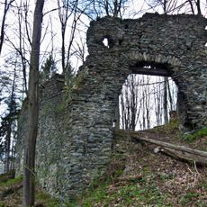
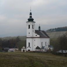
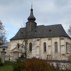
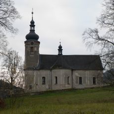
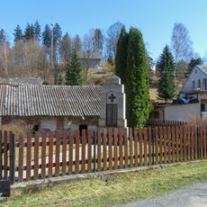
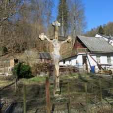
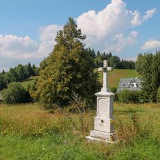
The communities here maintain their local identity through regular celebrations and regional customs that reflect the area's heritage. These distinct characteristics shape the everyday life and character of each municipality across the district.

Practical

The main administrative office is located in the city of Šumperk, where residents and visitors can obtain administrative services and information. This central location serves as the starting point for understanding the district's various municipalities and their connections.

Did you know?

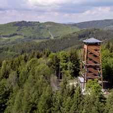
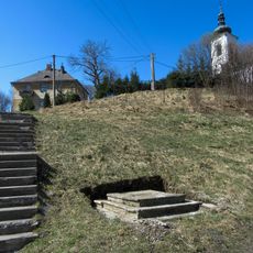
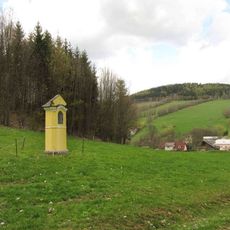
The area displays an interesting contrast between modern industrial zones and protected natural areas that coexist side by side. This blend of economic development and environmental preservation shapes the character of the district's landscape.

Inception
January 1, 2003
Capital city
Šumperk
GPS coordinates
50.03333,16.96667
Latest update
December 14, 2025 18:14

AroundUs brings together thousands of curated places, local tips, and hidden gems, enriched daily by 60,000 contributors worldwide. Discover all places nearby (Šumperk District).

Around this place
Nový Hrad
Czech Republic

Nový Hrad

3.5 km
Bukovka
Czech Republic

Bukovka

4 km
Holy Trinity Church
Czech Republic

Holy Trinity Church

2.1 km
All Saints church
Czech Republic

All Saints church

2.5 km
Kostel svatého Michala
Czech Republic

Kostel svatého Michala

1.2 km
Matzekova kaplička
Czech Republic

Matzekova kaplička

2.2 km
Boží muka
Czech Republic

Boží muka

2.4 km
Pomník v Kopřivné pod vrchem Mlýn
Czech Republic

Pomník v Kopřivné pod vrchem Mlýn

2.8 km
Socha svatého Jana Nepomuckého v Kopřivné u kostela
Czech Republic

Socha svatého Jana Nepomuckého v Kopřivné u kostela

2.1 km
Kaplička v Žárové naproti kostelu
Czech Republic

Kaplička v Žárové naproti kostelu

4.1 km
Kaplička v Pramenech u Žárové
Czech Republic

Kaplička v Pramenech u Žárové

2.1 km
Kříž v Kopřivné před kostelem
Czech Republic

Kříž v Kopřivné před kostelem

2.1 km
Pomník padlým v Kopřivné
Czech Republic

Pomník padlým v Kopřivné

2 km
Kříž v Kopřivné na severním okraji
Czech Republic

Kříž v Kopřivné na severním okraji

3.2 km
Kaplička v Rejcharticích poblíž kostela ve stráni
Czech Republic

Kaplička v Rejcharticích poblíž kostela ve stráni

963 m
Kříž v Kopřivné u cesty na Nový hrad
Czech Republic

Kříž v Kopřivné u cesty na Nový hrad

2.5 km
Boží muka u vchodu do kostela sv. Michala v Rejcharticích
Czech Republic

Boží muka u vchodu do kostela sv. Michala v Rejcharticích

1.2 km
Kříž v Pramenech u Žárové na hřbitově
Czech Republic

Kříž v Pramenech u Žárové na hřbitově

2.3 km
Kříž v Pramenech u Žárové
Czech Republic

Kříž v Pramenech u Žárové

2.2 km
Kříž na okraji Rejchartic u silnice
Czech Republic

Kříž na okraji Rejchartic u silnice

529 m
Pomník padlým v Bratrušově
Czech Republic

Pomník padlým v Bratrušově

2.5 km
Dřevěný kříž v Pramenech u Žárové
Czech Republic

Dřevěný kříž v Pramenech u Žárové

2.3 km
Kříž v Kopřivné u hlavní silnice
Czech Republic

Kříž v Kopřivné u hlavní silnice

1.6 km
Pomník padlým v Rejcharticích
Czech Republic

Pomník padlým v Rejcharticích

1.1 km
Kříž v Bratrušově u Pollnerovy hrušně
Czech Republic

Kříž v Bratrušově u Pollnerovy hrušně

3.4 km
Kaplička v Kopřivné na jižním okraji
Czech Republic

Kaplička v Kopřivné na jižním okraji

1.1 km
Kaple v Osikově na východním okraji
Czech Republic

Kaple v Osikově na východním okraji

897 m
Kaplička svatého Rocha v Bratrušově
Czech Republic

Kaplička svatého Rocha v Bratrušově

3.1 km
Show the full map
« Šumperk - Administrative district in Olomouc Region, Czech Republic » is provided by Around Us (aroundus.com). Images and texts are derived from Wikimedia project under a Creative Commons license. You are allowed to copy, distribute, and modify copies of this page, under the conditions set by the license, as long as this note is clearly visible.

Discover hidden gems everywhere you go!

From secret cafés to breathtaking viewpoints, skip the crowded tourist spots and find places that match your style. Our app makes it easy with voice search, smart filtering, route optimization, and insider tips from travelers worldwide. Download now for the complete mobile experience.

Around Us App Screenshot

A unique approach to discovering new places

Le Figaro

All the places worth exploring

France Info

A tailor-made excursion in just a few clicks

20 Minutes

Around Us
Travel Guide & Maps
Download

Send to your phone

QR Code
1

Open the camera app on your mobile.

2

Point at the QR code with your camera. A notification will appear.

3

Tap the notification to open the link.