
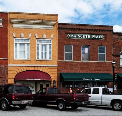
Farmer's Bank, bank building in McCormick, South Carolina
Location: McCormick
Address: Main Street
GPS coordinates: 33.91250,-82.29360
Latest update: September 23, 2025 14:47

Lake Strom Thurmond
29.3 km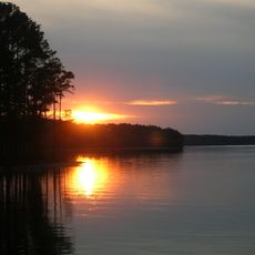
Elijah Clark State Park
12.5 km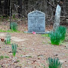
Long Cane Massacre Site
10.1 km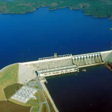
Richard B. Russell Dam
30.4 km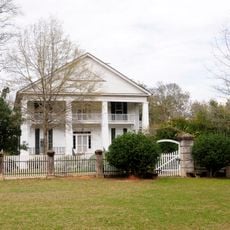
Eden Hall
9.3 km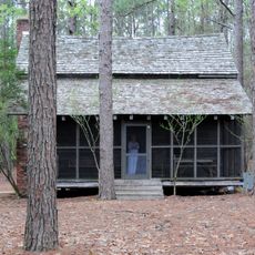
Guillebeau House
14.3 km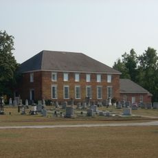
Cedar Springs Historic District
18.7 km
Barratt House
26.8 km
Blocker House
28 km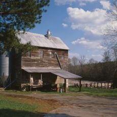
Price's Mill
16 km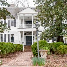
Cedar Grove
30 km
Sylvania
11.9 km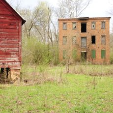
Calhoun Mill
21.5 km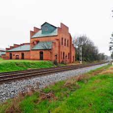
Dorn's Flour and Grist Mill
300 m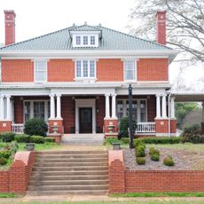
Joseph Jennings Dorn House
156 m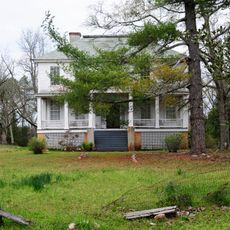
Calhoun-Gibert House
17.9 km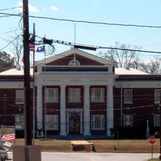
McCormick County Courthouse
248 m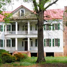
J. Wesley Brooks House
29.3 km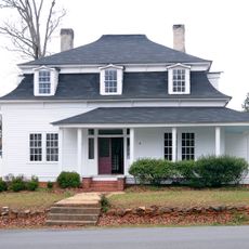
Otway Henderson House
356 m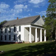
Lower Long Cane Associate Reformed Presbyterian Church
12.6 km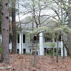
John Albert Gibert M.D. House
11.7 km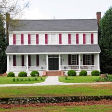
Moore-Kinard House
30.3 km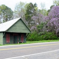
Mount Carmel Historic District
22.5 km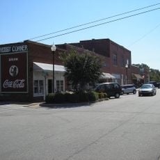
Lincolnton Historic District
21.7 km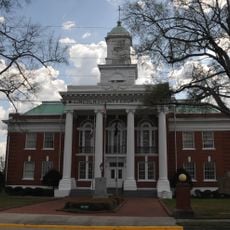
Lincoln County Courthouse
21.3 km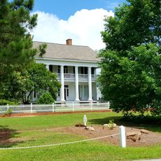
Matthews House
27.9 km
M.L.B. Sturkey House
313 m
Confederate Monument (Abbeville)
30.5 kmVisited this place? Tap the stars to rate it and share your experience / photos with the community! Try now! You can cancel it anytime.
Discover hidden gems everywhere you go!
From secret cafés to breathtaking viewpoints, skip the crowded tourist spots and find places that match your style. Our app makes it easy with voice search, smart filtering, route optimization, and insider tips from travelers worldwide. Download now for the complete mobile experience.

A unique approach to discovering new places❞
— Le Figaro
All the places worth exploring❞
— France Info
A tailor-made excursion in just a few clicks❞
— 20 Minutes