Balls Creek Campground

Log in to your account

AroundUs is a community-driven map of interesting places, built by curious explorers like you. It grows with every review, story, and photo you share.
Connect to save your favorite spots, contribute locations, and create personalized routes.
Continue with Google
Continue with Apple
Continue with X
Continue with Facebook
Continue with email
By continuing, you accept our Terms and Conditions and our Privacy Policy
Create an account
Add to collection
Map
Suggest a change
Share

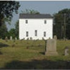
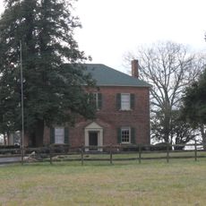
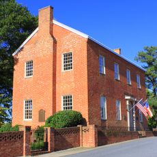
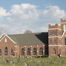
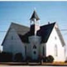
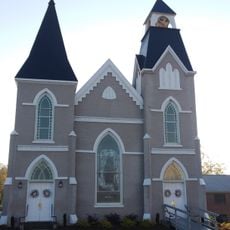
Balls Creek Campground, Methodist camp meeting district near Bandy's Crossroads, United States.

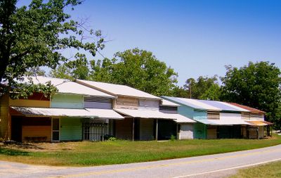
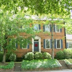
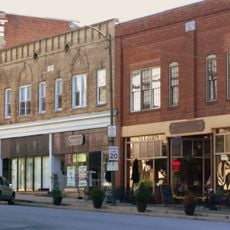
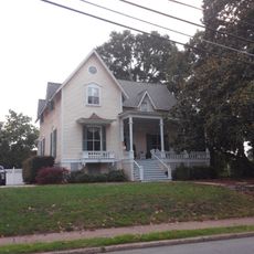
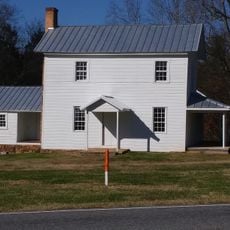
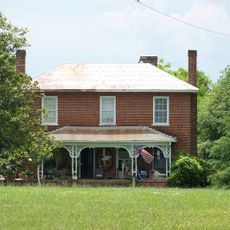
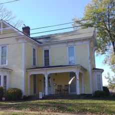
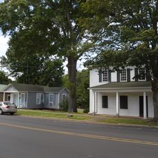
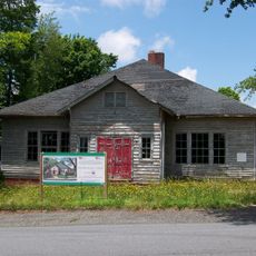
Balls Creek Campground is a historic gathering place with around 310 buildings that include family dwellings, a central meeting area, and various community facilities. The layout features residential structures, a shared marketplace, and service buildings that together form a self-contained complex.

The site was founded in 1853 as an extension of an existing gathering place in the region. Its importance was officially recognized through listing on the National Register of Historic Places in 1990.

The site hosts yearly family gatherings in August where visitors maintain their own small dwellings and gather for religious meetings that shape the character of the place. These structures and the gathering tradition have remained central to how the community understands itself and spends time together.

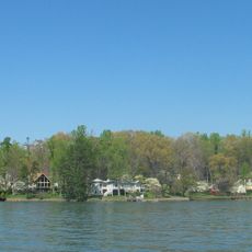
The site is located near Catawba and remains open year-round for those interested in attending gatherings, community events, or outdoor activities. It helps to explore ahead since the grounds are large and complex, with different areas serving different purposes.

A major fire in 2019 destroyed a significant portion of the buildings and required an extensive emergency response from multiple surrounding areas. The event shaped the recent history of the place and necessitated the community to rebuild many of its structures.

Location: North Carolina

GPS coordinates: 35.62940,-81.09720

Latest update: December 13, 2025 11:40

Photos
Around this place
Lake Norman
United States of America

Lake Norman

22 km
Lake Norman State Park
United States of America

Lake Norman State Park

14.8 km
Bunker Hill Covered Bridge
United States of America

Bunker Hill Covered Bridge

10.4 km
St. Paul's Church and Cemetery
United States of America

St. Paul's Church and Cemetery

14.3 km
Murray's Mill Historic District
United States of America

Murray's Mill Historic District

5 km
Catawba County Courthouse
United States of America

Catawba County Courthouse

11.9 km
Ingleside
United States of America

Ingleside

19.1 km
Pin Station
United States of America

Pin Station

12.6 km
Johnson-Neel House
United States of America

Johnson-Neel House

19.5 km
Pleasant Retreat Academy
United States of America

Pleasant Retreat Academy

22.7 km
First United Methodist Church
United States of America

First United Methodist Church

22.6 km
St. John's Lutheran Church
United States of America

St. John's Lutheran Church

13.9 km
St. Paul's Reformed Church
United States of America

St. Paul's Reformed Church

15.6 km
Emanuel United Church of Christ
United States of America

Emanuel United Church of Christ

22.4 km
St. Luke's Church and Cemetery
United States of America

St. Luke's Church and Cemetery

22.3 km
First Baptist Church
United States of America

First Baptist Church

22.4 km
Grace Reformed Church
United States of America

Grace Reformed Church

11.9 km
Lincoln County Courthouse
United States of America

Lincoln County Courthouse

22.2 km
Shadow Lawn
United States of America

Shadow Lawn

23 km
Murray's Mill Historic Site
United States of America

Murray's Mill Historic Site

5.2 km
Newton Downtown Historic District
United States of America

Newton Downtown Historic District

11.9 km
Lincolnton Commercial Historic District
United States of America

Lincolnton Commercial Historic District

22.7 km
Caldwell-Cobb-Love House
United States of America

Caldwell-Cobb-Love House

22.8 km
Bost-Burris House
United States of America

Bost-Burris House

14.4 km
Abraham Anthony Farm
United States of America

Abraham Anthony Farm

20.3 km
Foil–Cline House
United States of America

Foil–Cline House

12 km
West Main Street Historic District
United States of America

West Main Street Historic District

23.1 km
Lincolnton Recreation Department Youth Center
United States of America

Lincolnton Recreation Department Youth Center

22.6 km
Show the full map
Reviews

Visited this place? Tap the stars to rate it and share your experience / photos with the community! Try now! You can cancel it anytime.

« Balls Creek Campground - Methodist camp meeting district near Bandy's Crossroads, United States » is provided by Around Us (aroundus.com). Images and texts are derived from Wikimedia project under a Creative Commons license. You are allowed to copy, distribute, and modify copies of this page, under the conditions set by the license, as long as this note is clearly visible.

Discover hidden gems everywhere you go!

From secret cafés to breathtaking viewpoints, skip the crowded tourist spots and find places that match your style. Our app makes it easy with voice search, smart filtering, route optimization, and insider tips from travelers worldwide. Download now for the complete mobile experience.

Around Us App Screenshot

A unique approach to discovering new places

Le Figaro

All the places worth exploring

France Info

A tailor-made excursion in just a few clicks

20 Minutes