Chest opened
+${chestReward.xp} XP
Explorer
NOUVEAU ×${chestReward.collectible.quantity}
tapez pour fermer

See the monuments around you in AR Open chests in the app

Around Us is built for your phone — point your camera at the streets and discover the monuments and places around you in augmented reality. Around Us is built for your phone — chests unlock when you walk, explore and capture nearby places.

Enable Location

We need your location to show you interesting places around you

Discover nearby places

Find interesting locations and hidden gems around you

Precise directions

Get accurate directions and distances to places

Your location is never shared with other users. It's only used when you tap the location button.

Log in to your account

Start exploring — it's free

Trusted by 87,159 travelers worldwide

Continue with Google
Continue with Apple
or

We will send you a code to connect

By continuing, you accept our Terms and Conditions and our Privacy Policy

Check your inbox

We've sent a pincode in your inbox. Please enter the code below.

W. Kerr Scott Dam and Reservoir
Discussion Reviews Photo
4.1k Popularity

W. Kerr Scott Dam and Reservoir, reservoir in Wilkes County, North Carolina

W. Kerr Scott Reservoir is a large body of water in Wilkes County, North Carolina, created by damming the Yadkin River in the early 1960s. The lake is surrounded by forested hills and open fields with trails for walking and boating, parking areas, picnic spots, and basic facilities for visitors.

The reservoir was built in the early 1960s by damming the Yadkin River for water management and flood control. The area sits on land with deeper ties to the American Revolution, with historical routes that once followed the river corridors in the region.

The reservoir serves as a gathering place where people fish, boat, and picnic along the water's edge. It functions as a community space where locals connect with nature and spend time away from their daily routines.

The reservoir is easy to reach from nearby towns with parking areas near the water where you can unload gear and start exploring right away. The site has picnic tables, basic facilities, and shallow areas suitable for families and people new to water activities.

The area around the reservoir is crisscrossed by trails, including a certified mountain biking route of about 11 miles that runs over water views and forested hills. A visitor center shares the history of these routes and stories of people who lived in the region long before the lake was created.

The community of curious travelers

AroundUs brings together thousands of curated places, local tips, and hidden gems, enriched daily by 60,000 contributors worldwide.
Start exploring
GPS coordinates
36.11963,-81.26911
Latest update
September 13, 2026 23:02
Around this place
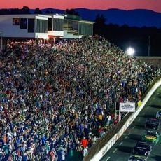
North Wilkesboro Speedway
United States of America

North Wilkesboro Speedway

11.1 mi
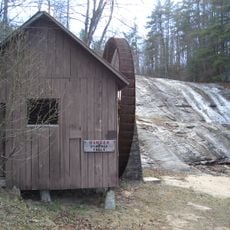
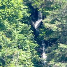
Cascade Falls
United States of America

Cascade Falls

13.7 mi
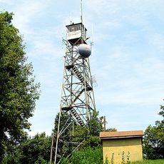
Rendezvous Mountain Educational State Forest
United States of America

Rendezvous Mountain Educational State Forest

7.6 mi
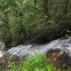
Moravian Falls
United States of America

Moravian Falls

5 mi
Pores Knob
United States of America

Pores Knob

8.1 mi
Betsey's Rock Falls
United States of America

Betsey's Rock Falls

13.7 mi
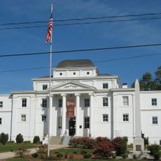
Wilkes County Courthouse
United States of America

Wilkes County Courthouse

6.8 mi
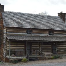
Robert Cleveland Log House
United States of America

Robert Cleveland Log House

7.8 mi
Downtown Main Street Historic District
United States of America

Downtown Main Street Historic District

7.4 mi
Brown-Cowles House and Cowles Law Office
United States of America

Brown-Cowles House and Cowles Law Office

6.9 mi
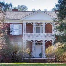
Thomas B. Finley House
United States of America

Thomas B. Finley House

7.2 mi
J. T. Ferguson Store
United States of America

J. T. Ferguson Store

6.9 mi
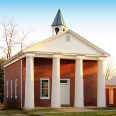
Wilkesboro Presbyterian Church
United States of America

Wilkesboro Presbyterian Church

7 mi
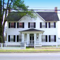
Johnson-Hubbard House
United States of America

Johnson-Hubbard House

6.9 mi
Riverside
United States of America

Riverside

10.1 mi
Downtown Wilkesboro Historic District
United States of America

Downtown Wilkesboro Historic District

6.9 mi
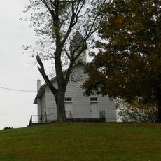
Mariah's Chapel
United States of America

Mariah's Chapel

9.9 mi
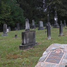
Dula-Horton Cemetery
United States of America

Dula-Horton Cemetery

9.1 mi
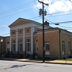
Federal Building
United States of America

Federal Building

5.1 mi
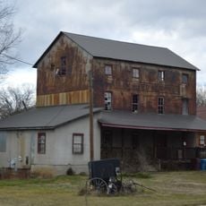
Taylorsville Milling Company Roller Mill
United States of America

Taylorsville Milling Company Roller Mill

14.6 mi
United States of America

Scenic viewpoint

7.4 mi
United States of America

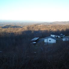
Blood Creek Overlook

1.4 mi
United States of America

The Lump Overlook

12.4 mi
United States of America

Waterfall

3.6 mi
United States of America

Amadehy Falls

7.1 mi
United States of America

Waterfall

11.3 mi
United States of America

Moravian Falls

5 mi
United States of America

Dugger Creek Falls

13.8 mi
Show the full map
Reviews
Share your experience

No review yet

Discussions
Start a discussion...

No discussion yet

« W. Kerr Scott Dam and Reservoir - reservoir in Wilkes County, North Carolina » is provided by Around Us (aroundus.com). Images and texts are derived from Wikimedia project under a Creative Commons license. You are allowed to copy, distribute, and modify copies of this page, under the conditions set by the license, as long as this note is clearly visible.

Discover hidden gems everywhere you go!

From secret cafés to breathtaking viewpoints, skip the crowded tourist spots and find places that match your style. Our app makes it easy with voice search, smart filtering, route optimization, and insider tips from travelers worldwide. Download now for the complete mobile experience.

Around Us App Screenshot

A unique approach to discovering new places

Le Figaro

All the places worth exploring

France Info

A tailor-made excursion in just a few clicks

20 Minutes

Around Us
Travel Guide & Maps
Download

Send to your phone

QR Code
1

Open the camera app on your mobile.

2

Point at the QR code with your camera. A notification will appear.

3

Tap the notification to open the link.