Chest opened
+${chestReward.xp} XP
Explorer
NOUVEAU ×${chestReward.collectible.quantity}
tapez pour fermer

See the monuments around you in AR Open chests in the app

Around Us is built for your phone — point your camera at the streets and discover the monuments and places around you in augmented reality. Around Us is built for your phone — chests unlock when you walk, explore and capture nearby places.

Enable Location

We need your location to show you interesting places around you

Discover nearby places

Find interesting locations and hidden gems around you

Precise directions

Get accurate directions and distances to places

Your location is never shared with other users. It's only used when you tap the location button.

Chow Chow Bridge

Log in to your account

Start exploring — it's free

Trusted by 87,317 travelers worldwide

Continue with Google
Continue with Apple
or

We will send you a code to connect

By continuing, you accept our Terms and Conditions and our Privacy Policy

Check your inbox

We've sent a pincode in your inbox. Please enter the code below.

Chow Chow Bridge
Discussion Reviews 1 Photos
2k Popularity

Chow Chow Bridge, Cable-stayed bridge in Quinault Reservation, US.

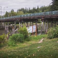
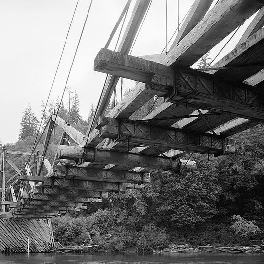
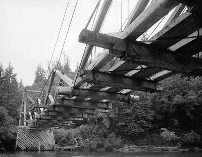
Chow Chow Bridge was a wooden structure that spanned the Quinault River with four timber king post trusses connected by steel cables. The bridge stood near Taholah on the reservation and served as a crossing point over the waterway.

Frank Milward designed this first cable-stayed bridge in Washington State for the Aloha Lumber Company, which operated from 1952 until 1988. The structure endured three major collapses during those decades before being dismantled.

The bridge held significant meaning for the Quinault Nation as a crossing point that connected communities on the reservation. Its closure by tribal members in 1971 became a defining moment in their efforts to assert independence and control over their own lands and resources.

The site was located in a forested area of the Quinault Reservation, typical of the Pacific region. Access to the historical location today requires respectful navigation through tribal lands with local awareness.

After the final collapse, the bridge materials were repurposed into cedar shakes for building a new tribal center in Taholah. This transformation gave the old structure a second life in service to the community.

The community of curious travelers

AroundUs brings together thousands of curated places, local tips, and hidden gems, enriched daily by 60,000 contributors worldwide.
Start exploring
Inception
1952
GPS coordinates
47.35306,-124.19264
Latest update
September 11, 2026 22:09
Around this place
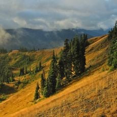
Olympic National Park
United States of America

Olympic National Park

37.9 mi
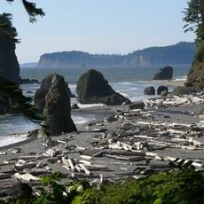
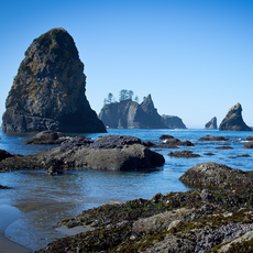
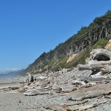
Ruby Beach
United States of America

Ruby Beach

26.8 mi
Young Street Bridge
United States of America

Young Street Bridge

31.3 mi
Damon Point State Park
United States of America

Damon Point State Park

28.5 mi
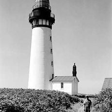
Destruction Island Lighthouse
United States of America

Destruction Island Lighthouse

26.1 mi
Pacific Beach State Park
United States of America

Pacific Beach State Park

10.2 mi
Colonel Bob Wilderness
United States of America

Colonel Bob Wilderness

23.5 mi
Grays Harbor National Wildlife Refuge
United States of America

Grays Harbor National Wildlife Refuge

29 mi
Hoquiam's Castle
United States of America

Hoquiam's Castle

29.3 mi
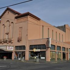
7th Street Theatre
United States of America

7th Street Theatre

29.7 mi
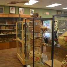
Quinault Cultural Center and Museum
United States of America

Quinault Cultural Center and Museum

4.5 mi
Copalis National Wildlife Refuge
United States of America

Copalis National Wildlife Refuge

6 mi
United States of America

Colonel Bob

22.9 mi
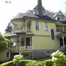
Joseph Lytle House
United States of America

Joseph Lytle House

29.2 mi
Carnegie Library
United States of America

Carnegie Library

29.7 mi
Masonic Temple-Hoquiam
United States of America

Masonic Temple-Hoquiam

29.7 mi
Wishkah River Bridge
United States of America

Wishkah River Bridge

31.6 mi
Riverside Avenue Bridge
United States of America

Riverside Avenue Bridge

29.6 mi
Kestner Homestead
United States of America

Kestner Homestead

20.6 mi
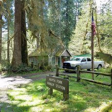
North Fork Quinault Ranger Station
United States of America

North Fork Quinault Ranger Station

29.7 mi
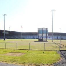
Olympic Stadium
United States of America

Olympic Stadium

30.3 mi
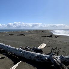
Beach 1
United States of America

Beach 1

17.2 mi
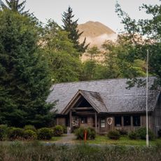
Quinault Rain Forest Ranger Station
United States of America

Quinault Rain Forest Ranger Station

20.3 mi
D & R Theatre
United States of America

D & R Theatre

31.6 mi
Kalaloch Campground
United States of America

Kalaloch Campground

19.9 mi
Middle Rock
United States of America

Middle Rock

29.8 mi
Hoh Head
United States of America

Hoh Head

31.6 mi
Big Cedar Tree
United States of America

Big Cedar Tree

24.1 mi
Show the full map
Reviews
Share your experience

No review yet

Discussions
Start a discussion...

No discussion yet

« Chow Chow Bridge - Cable-stayed bridge in Quinault Reservation, US » is provided by Around Us (aroundus.com). Images and texts are derived from Wikimedia project under a Creative Commons license. You are allowed to copy, distribute, and modify copies of this page, under the conditions set by the license, as long as this note is clearly visible.

Discover hidden gems everywhere you go!

From secret cafés to breathtaking viewpoints, skip the crowded tourist spots and find places that match your style. Our app makes it easy with voice search, smart filtering, route optimization, and insider tips from travelers worldwide. Download now for the complete mobile experience.
Around Us App Screenshot

A unique approach to discovering new places

Le Figaro

All the places worth exploring

France Info

A tailor-made excursion in just a few clicks

20 Minutes

Around Us
Travel Guide & Maps
Download

Send to your phone

QR Code
1

Open the camera app on your mobile.

2

Point at the QR code with your camera. A notification will appear.

3

Tap the notification to open the link.