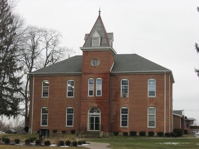
Union High Academy Historic District
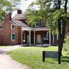
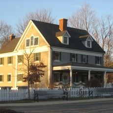
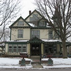
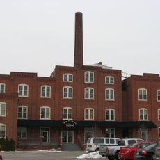
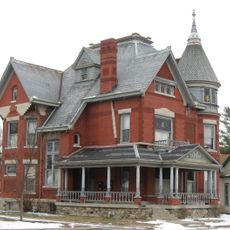
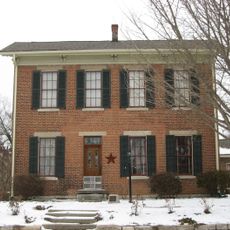
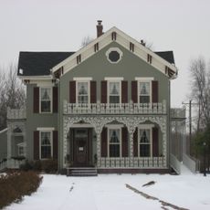
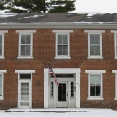
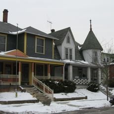
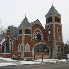
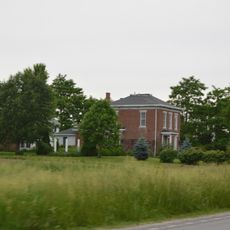
Union High Academy Historic District is a twelve-acre site in Westfield, Indiana, containing several brick and wood buildings erected between 1861 and 1929 in styles ranging from Greek Revival to Tudor Revival and Bungalow. The campus includes the original school building, student dormitories now serving as private homes, the President's House, and structures added during the seminary expansion.
The district was founded in 1861 by members of the Religious Society of Friends who built a school for their children during the American Civil War. In 1911, William M. Smith helped establish the Union Bible Seminary on the campus, which trained students for ministry and missionary work.
The district served as a center for religious education rooted in Quaker traditions and later Holiness movement teachings. The buildings and their layout reflect the values of faith-based learning and community service that shaped life here for generations.
The district sits in a quiet area of Westfield away from busy roads and is easy to walk through at a comfortable pace. Visitors will find well-maintained grounds and preserved buildings that invite leisurely exploration of the site.
The district continues to blend academic and religious education with students of different ages learning simultaneously in the buildings, making it an active learning environment rather than a static historic site. This unusual combination of ongoing institutional life and historical preservation gives the place a living quality that most similar sites lack.
The community of curious travelers
AroundUs brings together thousands of curated places, local tips, and hidden gems, enriched daily by 60,000 contributors worldwide.