Enable Location

We need your location to show you interesting places around you

Discover nearby places

Find interesting locations and hidden gems around you

Precise directions

Get accurate directions and distances to places

Your location is never shared with other users. It's only used when you tap the location button.

Sharon Cemetery Historic District

Log in to your account

Start exploring — it's free

Trusted by 60,652 travelers worldwide

Continue with Google
Continue with Apple
or

We will send you a code to connect

By continuing, you accept our Terms and Conditions and our Privacy Policy

Check your inbox

We've sent a pincode in your inbox. Please enter the code below.

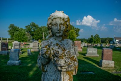
Sharon Cemetery Historic District, Historic cemetery district in Harrison Township, United States

Description

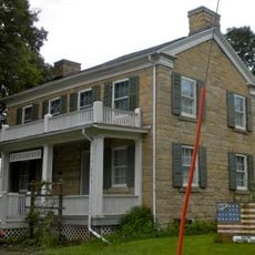
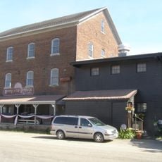
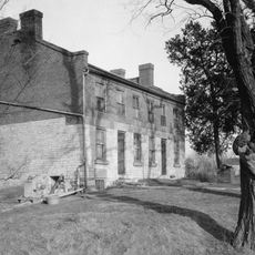
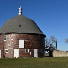
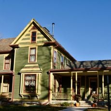
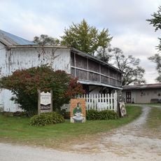
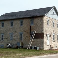
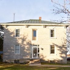
Sharon Cemetery Historic District is a roughly 9.5-acre site that includes a Presbyterian church, manse, sexton's house, and various historic structures from different periods. The whole area shows different building styles from various eras, making it a record of how local architecture developed over time.

History

The site began developing in the 1860s and was added to the National Register of Historic Places in 1991. This recognition honored its architectural importance and its value to the community across generations.

Culture

The cemetery layout reflects burial practices and social customs of the period through its design and arrangement of graves and structures. You can observe how the placement of monuments and buildings reveals the values of the community from the 1800s.

Practical

The grounds are laid out with walkways, driveways, and drainage systems that allow visitors to explore the site comfortably. The existing infrastructure makes it straightforward to move around the property and view the different buildings and graves.

Did you know?

A memorial from 1907 was erected by the Iowa General Assembly to honor an American Revolutionary War soldier who died in Lee County. This monument still stands today as a reminder of an often overlooked part of local history.

Architects
Ossian Cole Simonds
GPS coordinates
40.72528,-91.66139
Latest update
December 14, 2025 18:02

AroundUs brings together thousands of curated places, local tips, and hidden gems, enriched daily by 60,000 contributors worldwide. Discover all places nearby (Harrison Township).

Around this place
Geode State Park
United States of America

Geode State Park

26.2 km
Battle of Athens State Historic Site
United States of America

Battle of Athens State Historic Site

15.7 km
United States of America

Old Thresher's Reunion

27.3 km
Bentonsport
United States of America

Bentonsport

19.7 km
Lacey-Keosauqua State Park
United States of America

Lacey-Keosauqua State Park

27.1 km
Bridgeport Bridge
United States of America

Bridgeport Bridge

26.1 km
Van Buren County Courthouse
United States of America

Van Buren County Courthouse

25.5 km
Faeth Farmstead and Orchard District
United States of America

Faeth Farmstead and Orchard District

21.4 km
Midwest Old Threshers Heritage Museums & Business Office
United States of America

Midwest Old Threshers Heritage Museums & Business Office

27.3 km
Henderson Lewelling House
United States of America

Henderson Lewelling House

14.4 km
Des Moines River Locks No. 5 and No. 7
United States of America

Des Moines River Locks No. 5 and No. 7

12.1 km
Farmers Savings Bank
United States of America

Farmers Savings Bank

14.8 km
Meek's Flour Mill
United States of America

Meek's Flour Mill

12.4 km
Franklin Pearson House
United States of America

Franklin Pearson House

25.9 km
Holtkamp Round Barn
United States of America

Holtkamp Round Barn

13.2 km
Owen A. and Emma J. Garretson House
United States of America

Owen A. and Emma J. Garretson House

15.3 km
Bonaparte Pottery Archeological District
United States of America

Bonaparte Pottery Archeological District

12.1 km
Kilbourn Bridge
United States of America

Kilbourn Bridge

27.4 km
Dennis Melcher Pottery and House
United States of America

Dennis Melcher Pottery and House

26.4 km
Oakland Mills Bridge
United States of America

Oakland Mills Bridge

23.7 km
Joseph A. and Lydia A. Edwards House
United States of America

Joseph A. and Lydia A. Edwards House

15.3 km
Bonaparte Historic Riverfront District
United States of America

Bonaparte Historic Riverfront District

12.4 km
Isaac and Agnes
United States of America

Isaac and Agnes

14.6 km
Paton and Hannah Wilson House
United States of America

Paton and Hannah Wilson House

19.7 km
Collins-Bond House
United States of America

Collins-Bond House

14.4 km
Lamm-Pollmiller Farmstead District
United States of America

Lamm-Pollmiller Farmstead District

11.6 km
Bicksler Block
United States of America

Bicksler Block

14.8 km
Cook-Johnson House
United States of America

Cook-Johnson House

15.2 km
Show the full map
« Sharon Cemetery Historic District - Historic cemetery district in Harrison Township, United States » is provided by Around Us (aroundus.com). Images and texts are derived from Wikimedia project under a Creative Commons license. You are allowed to copy, distribute, and modify copies of this page, under the conditions set by the license, as long as this note is clearly visible.

Discover hidden gems everywhere you go!

From secret cafés to breathtaking viewpoints, skip the crowded tourist spots and find places that match your style. Our app makes it easy with voice search, smart filtering, route optimization, and insider tips from travelers worldwide. Download now for the complete mobile experience.

Around Us App Screenshot

A unique approach to discovering new places

Le Figaro

All the places worth exploring

France Info

A tailor-made excursion in just a few clicks

20 Minutes

Around Us
Travel Guide & Maps
Download

Send to your phone

QR Code
1

Open the camera app on your mobile.

2

Point at the QR code with your camera. A notification will appear.

3

Tap the notification to open the link.