
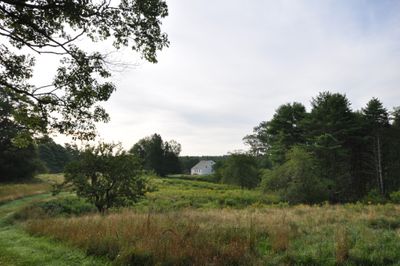
Pettengill House and Farm, farm in Freeport, Maine
Location: Freeport
Address: Pettengill Road
GPS coordinates: 43.85028,-70.08194
Latest update: September 27, 2025 15:23
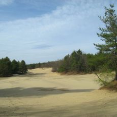
Desert of Maine
6 km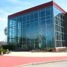
Eartha
8.1 km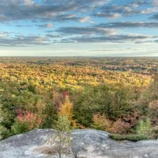
Bradbury Mountain State Park
9.8 km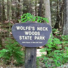
Wolfe's Neck Woods State Park
3.1 km
Pennellville Historic District
9.8 km
Elijah Kellogg Church
9.5 km
Winslow Memorial Park
5.7 km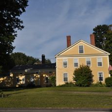
Bagley-Bliss House
11.2 km
Capt. S.C. Blanchard House
10.3 km
Camp Hammond
10.1 km
Harraseeket Historic District
813 m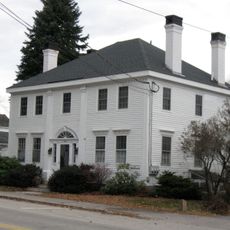
Mitchell House
10.3 km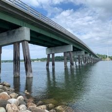
Ellis C. Snodgrass Memorial Bridge
10 km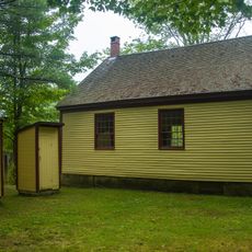
Growstown School
8.6 km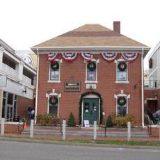
E.B. Mallett Office Building
1.9 km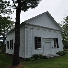
Union Church
9.8 km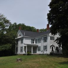
Elijah Kellogg House
9.3 km
Capt. Greenfield Pote House
2.2 km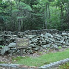
Pownal Cattle Pound
9.6 km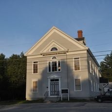
Mallett Hall
9.5 km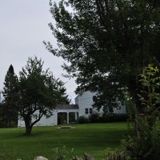
Deacon Andrew Dunning House
10.7 km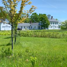
James Pennell Mansion
9.9 km
Academy Hall
9.9 km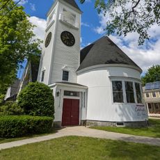
First Baptist Church
10.4 km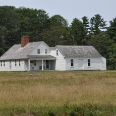
Tarr-Eaton House
9.4 km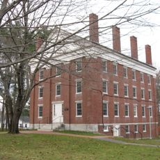
Russell Hall
9.9 km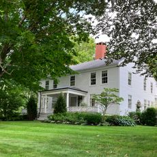
Gilman Manse
10.7 km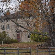
Nathaniel Osgood House
9.5 kmReviews
Visited this place? Tap the stars to rate it and share your experience / photos with the community! Try now! You can cancel it anytime.
Discover hidden gems everywhere you go!
From secret cafés to breathtaking viewpoints, skip the crowded tourist spots and find places that match your style. Our app makes it easy with voice search, smart filtering, route optimization, and insider tips from travelers worldwide. Download now for the complete mobile experience.

A unique approach to discovering new places❞
— Le Figaro
All the places worth exploring❞
— France Info
A tailor-made excursion in just a few clicks❞
— 20 Minutes