
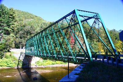
Rice Farm Road Bridge
Rice Farm Road Bridge, bridge in United States of America
Location: Dummerston
Part of: Metal Truss, Masonry, and Concrete Bridges in Vermont MPS
GPS coordinates: 42.91611,-72.61333
Latest update: March 7, 2025 19:18
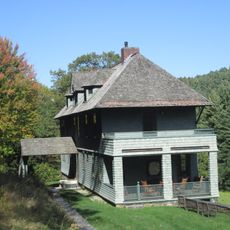
Naulakha
4.5 km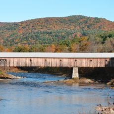
West Dummerston Covered Bridge
2.3 km
United States Navy Seabees Bridge
6.2 km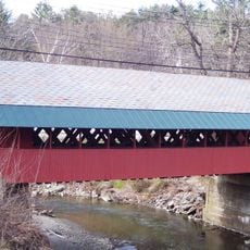
Creamery Covered Bridge
7.7 km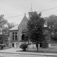
Brooks Memorial Library
8.1 km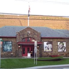
Brattleboro Museum and Art Center
8.6 km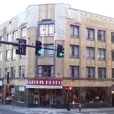
Latchis Hotel and Theatre
8.5 km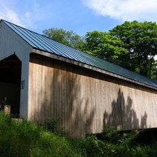
Williamsville Covered Bridge
6.8 km
Deacon John Holbrook House
7.8 km
Putney Village Historic District
9.8 km
William Harris House
7.6 km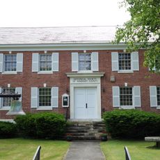
Historical Society of Windham County
8.3 km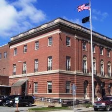
Brattleboro Downtown Historic District
8.2 km
Canal Street–Clark Street Neighborhood Historic District
8.7 km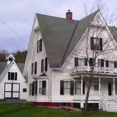
Lewis Grout House
7 km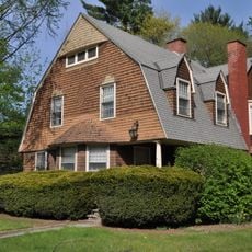
Arthur D. and Emma J. Wyatt House
7.8 km
Dickinson Estate Historic District
4.7 km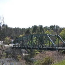
Brookline-Newfane Bridge
9.2 km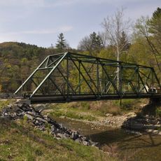
South Newfane Bridge
7.9 km
West Brattleboro Green Historic District
7.2 km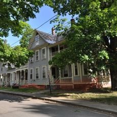
Homestead-Horton Neighborhood Historic District
8.8 km
Brattleboro Museum and Art Center
8.6 km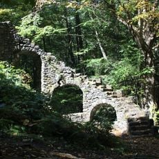
Madame Sherri's Castle
9.6 km
Municipal Center
8 km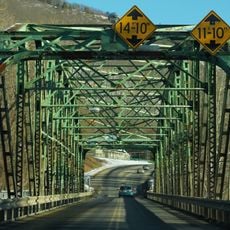
Charles Dana Bridge
8.9 km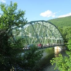
Anna Hunt Marsh Bridge
8.6 km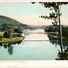
Brattleboro Suspension Bridge
6.3 km
Newfane Village Historic District
8.7 kmVisited this place? Tap the stars to rate it and share your experience / photos with the community! Try now! You can cancel it anytime.
Discover hidden gems everywhere you go!
From secret cafés to breathtaking viewpoints, skip the crowded tourist spots and find places that match your style. Our app makes it easy with voice search, smart filtering, route optimization, and insider tips from travelers worldwide. Download now for the complete mobile experience.

A unique approach to discovering new places❞
— Le Figaro
All the places worth exploring❞
— France Info
A tailor-made excursion in just a few clicks❞
— 20 Minutes