
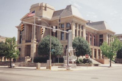
Crawfordsville Commercial Historic District
Crawfordsville Commercial Historic District, historic district in Indiana, United States
Shades State Park
17.6 km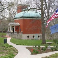
General Lew Wallace Study
3.3 km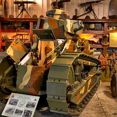
Ropkey Armor Museum
11.8 km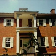
Lusk Home and Mill Site
27.3 km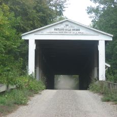
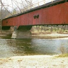
Portland Mills Covered Bridge
24.2 km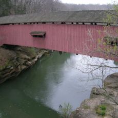
Narrows Covered Bridge
27.3 km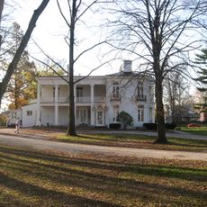
Henry S. Lane House
3.1 km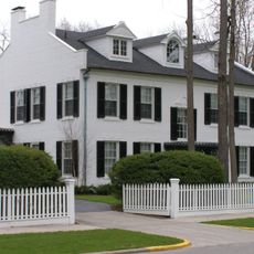
Col. Isaac C. Elston House
3.3 km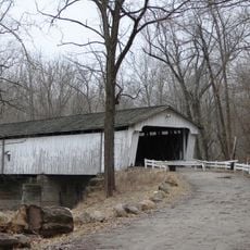
Darlington Covered Bridge
14 km
George Seybold House
20.8 km
Lancelot C. Ewbank House
27.5 km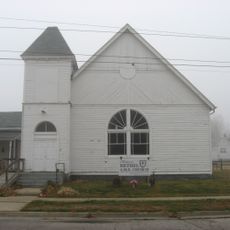
Bethel AME Church of Crawfordsville
2.5 km
T.C. Steele Boyhood Home
20.8 km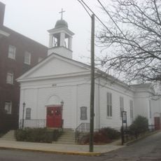
Saint John's Episcopal Church
2.9 km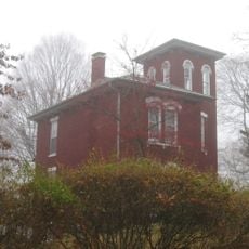
McClelland-Layne House
2.1 km
Normal Hall
18 km
Elston Grove Historic District
3.2 km
Ashby
17.6 km
Samuel Brown House
26.6 km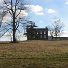
Abijah O'Neall II House
4.8 km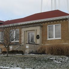
Colfax Carnegie Library
28.3 km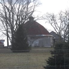
William Fisher Polygonal Barn
20.6 km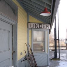
Linden Depot
17 km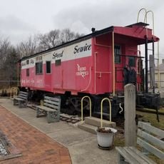
Linden Depot Museum
16.9 km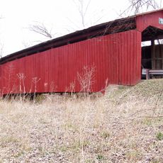
Cornstalk Covered Bridge
20.7 km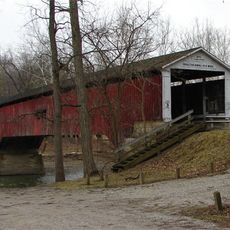
Deer's Mill Covered Bridge
15.2 km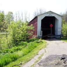
Wallace Covered Bridge
19.1 km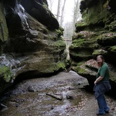
Rocky Hollow-Falls Canyon Nature Preserve
28.5 kmVisited this place? Tap the stars to rate it and share your experience / photos with the community! Try now! You can cancel it anytime.
Discover hidden gems everywhere you go!
From secret cafés to breathtaking viewpoints, skip the crowded tourist spots and find places that match your style. Our app makes it easy with voice search, smart filtering, route optimization, and insider tips from travelers worldwide. Download now for the complete mobile experience.

A unique approach to discovering new places❞
— Le Figaro
All the places worth exploring❞
— France Info
A tailor-made excursion in just a few clicks❞
— 20 Minutes