
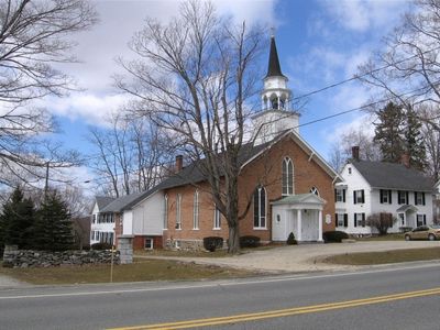
Sharon Historic District
Sharon Historic District, historic district in Sharon, Connecticut
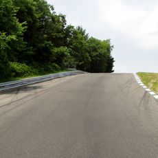
Lime Rock Park
10.2 km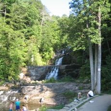
Kent Falls State Park
12.1 km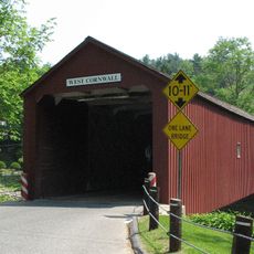
West Cornwall Covered Bridge
9.5 km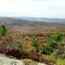
Macedonia Brook State Park
10.9 km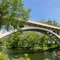
Cornwall Bridge
10.5 km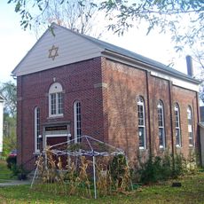
Beth David Synagogue
6.8 km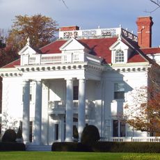
Hiddenhurst
3.9 km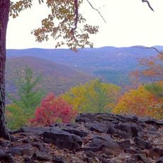
Housatonic Meadows State Park
8.8 km
Beekman Park
7.4 km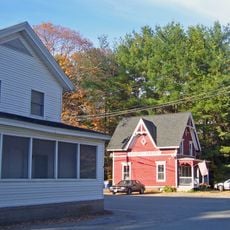
Sharon Valley Historic District
1.9 km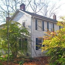
Lewis Mumford House
3.4 km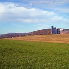
Coleman Station Historic District
4.8 km
Audubon Sharon
2.5 km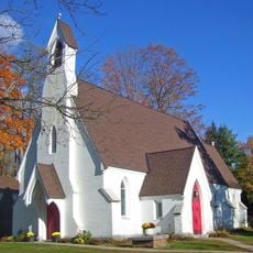
St. Thomas Episcopal Church
5.5 km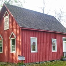
Indian Rock Schoolhouse
5.6 km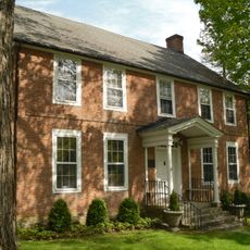
Ebenezer Gay House
765 m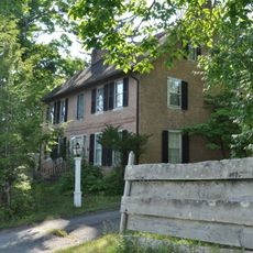
James Pardee House
1.5 km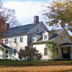
Thomas N. Wheeler Farm
5.8 km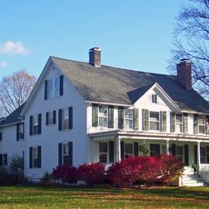
Oliver Barrett House
4.8 km
Gov. Smith Homestead
324 m
Dakin-Coleman Farm
5.5 km
Ezra Clark House
6.4 km
George King House
1.3 km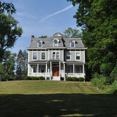
Lakeville Manor
10.8 km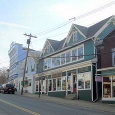
Main Street Historic District
9.6 km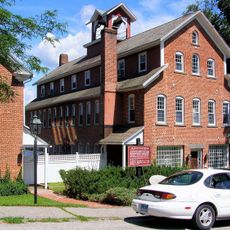
Lakeville Historic District
10.9 km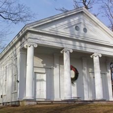
Smithfield Presbyterian Church
10.2 km
Bridge No. 2305
11.3 kmVisited this place? Tap the stars to rate it and share your experience / photos with the community! Try now! You can cancel it anytime.
Discover hidden gems everywhere you go!
From secret cafés to breathtaking viewpoints, skip the crowded tourist spots and find places that match your style. Our app makes it easy with voice search, smart filtering, route optimization, and insider tips from travelers worldwide. Download now for the complete mobile experience.

A unique approach to discovering new places❞
— Le Figaro
All the places worth exploring❞
— France Info
A tailor-made excursion in just a few clicks❞
— 20 Minutes