Barbours Creek Wilderness, US wilderness area in Craig County, Virginia, US
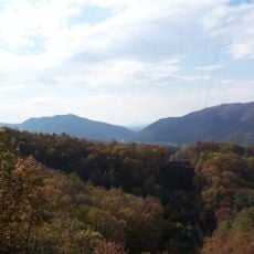
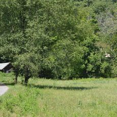
Barbours Creek Wilderness is a 5,382-acre U.S. wilderness area in the Eastern Divide Ranger District of George Washington and Jefferson National Forests, about five miles north of New Castle, Virginia. It lies on the eastern slope of Potts Mountain, bounded west by the mountain crest, east by Barbour's Creek and Va 617, and south by Forest Service Road 176. Elevations run from 1,700 feet at the lower creeks to 3,800 feet on the mountain.
Congress designated this section of the Jefferson National Forest as protected wilderness in 1988. This federal protection recognizes the ecological value of this Appalachian region.
The name comes from Barbours Creek, which flows southeast past the area and curls around Bald Mountain to join Craig Creek, then the James River. The Virginia Department of Game and Inland Fisheries designates the creek and Lipes Branch as cold water streams. The area belongs to the Barbours Creek-Shawvers Run Cluster with the adjacent national forest land.
The only maintained path is the Lipes Branch Trail, 1.7 miles along Lipes Branch from a trailhead near Pines Campground; continuing past the maintained section to the Potts Mountain Jeep Trail extends the hike to 2.3 miles. The 7.3-mile jeep trail, reached from FS 176 or Va 617, lies outside the wilderness along its western boundary.
Potts Pond, a site listed by the Virginia Natural Heritage Program, holds sphagnum moss, ferns and insectivorous plants, plus the rare amber-winged spreadwing damselfly and the federally endangered northeastern bulrush. The wilderness also supports one of Virginia's largest bobcat concentrations and about 160 recorded bird species.
The community of curious travelers
AroundUs brings together thousands of curated places, local tips, and hidden gems, enriched daily by 94,544 contributors worldwide.