Sabinoso Wilderness, Protected wilderness in San Miguel County, New Mexico, US.
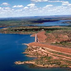
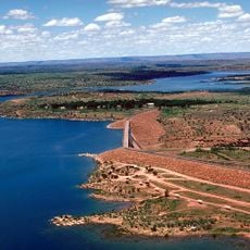
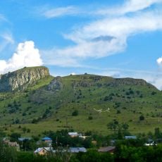
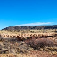
Sabinoso Wilderness covers 29,855 acres in San Miguel County, New Mexico, managed by the Bureau of Land Management. Canyons cut by Cañon Olguin, Cañon Largo and Lagartija Creek separate steep-sided mesas rising from 4,500 to 6,000 feet. Mesa tops are grassland, canyon walls carry pinyon pine and juniper with groves of ponderosa pine, and cottonwoods and willows line the streambeds.
Tom Udall's 2008 Sabinoso Wilderness Act passed the House but died in the Senate; Raúl Grijalva's 2008 bill also failed. Sabinoso was finally designated by the Omnibus Public Lands Management Act of 2009, signed by Barack Obama on March 30, 2009, covering about 16,030 acres. The area was landlocked by private land until a road funded through the Wyss Foundation opened it on November 10, 2017; a 2021 Trust for Public Land donation added 9,855 acres.
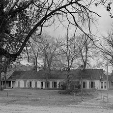
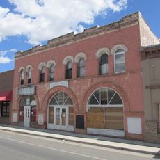
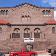
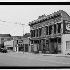
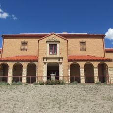
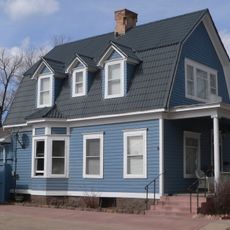
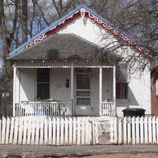
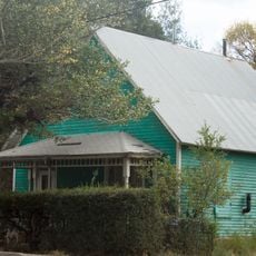
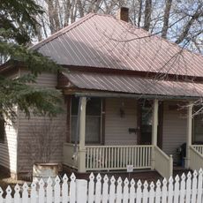
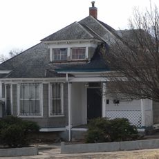
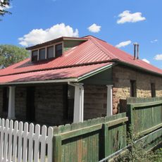
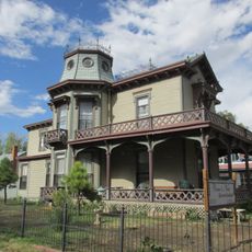
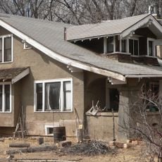
The name Sabinoso comes from the Spanish sabino, the juniper trees found on the mesa tops and canyon walls. The surrounding area was homesteaded and ranched from the mid-19th century, and the 1890s settlement of Sabinoso, now mostly abandoned with a few buildings remaining, lies near the northeastern corner by the Canadian River. Largo Canyon Road is thought to follow a prehistoric trail later used by the U.S. Army between Fort Union and Fort Bascom.
Access is via County Road C51A through dirt roads that can become impassable during rainy periods. Check weather and road conditions before heading out, as moisture can make travel difficult in this remote area.
The 2021 donation from the Trust for Public Land added 9,855 acres, the former Hobo Ranch, raising the wilderness to 29,855 acres. A second public access road is planned. Until 2017 the area was landlocked by private land, so visitors could enter only by trespassing.
The community of curious travelers
AroundUs brings together thousands of curated places, local tips, and hidden gems, enriched daily by 93,665 contributors worldwide.