
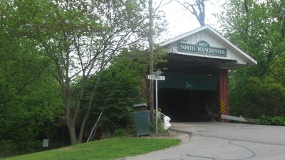
North Manchester Covered Bridge
North Manchester Covered Bridge, covered bridge in Indiana, USA
Location: Wabash County
Inception: 1872
GPS coordinates: 40.99583,-85.76528
Latest update: November 28, 2025 14:29

Lincoln Monument of Wabash, Indiana
22.5 km
Salamonie River State Forest
21.1 km
Honeywell Center
22.8 km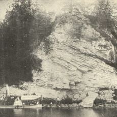
Hanging Rock and Wabash Reef National Natural Landmark
19.1 km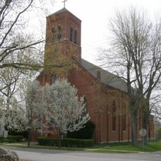
St. Patrick's Roman Catholic Church
18 km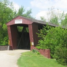
Roann Covered Bridge
16.1 km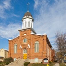
First Christian Church
22.5 km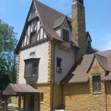
Honeywell Studio
20 km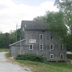
Stockdale Mill
17.5 km
Lentz House
580 m
Hominy Ridge Shelter House
21.9 km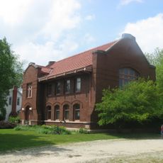
Old North Manchester Public Library
708 m
Roann Historic District
16.4 km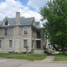
East Wabash Historic District
22.4 km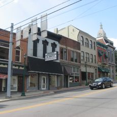
Downtown Wabash Historic District
22.6 km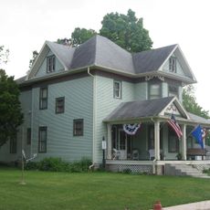
Thomas J. Lewis House
16.2 km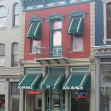
James M. Amoss Building
22.5 km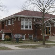
Roann-Paw Paw Township Public Library
16.5 km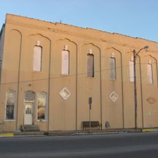
Silver Lake Historic District
13.6 km
Manchester College Historic District
1.7 km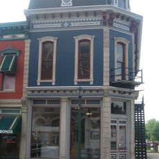
Solomon Wilson Building
22.5 km
Paw Paw Creek Bridge No. 52
21.4 km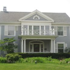
McNamee-Ford House
21.7 km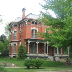
Noftzger-Adams House
722 m
Rangeline Road Bridge
22.8 km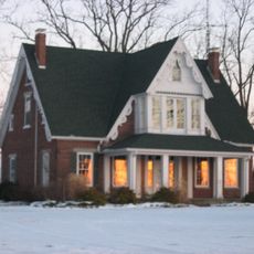
Halderman-Van Buskirk Farmstead
16.7 km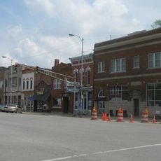
North Manchester Historic District
616 m
Young-Yentes-Mattern Farm
16.8 kmVisited this place? Tap the stars to rate it and share your experience / photos with the community! Try now! You can cancel it anytime.
Discover hidden gems everywhere you go!
From secret cafés to breathtaking viewpoints, skip the crowded tourist spots and find places that match your style. Our app makes it easy with voice search, smart filtering, route optimization, and insider tips from travelers worldwide. Download now for the complete mobile experience.

A unique approach to discovering new places❞
— Le Figaro
All the places worth exploring❞
— France Info
A tailor-made excursion in just a few clicks❞
— 20 Minutes