Montpelier Historic District, National Historic District in Montpelier, US.
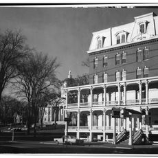
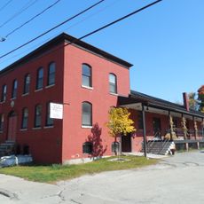
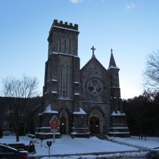
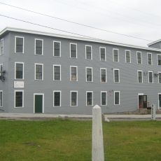
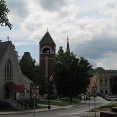
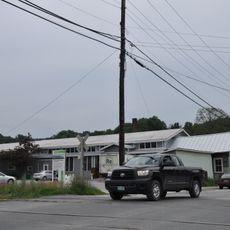
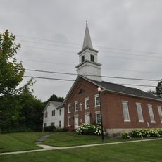
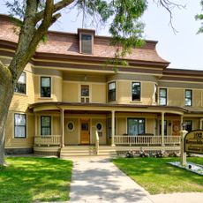
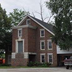
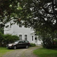
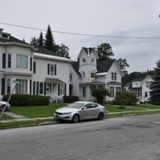
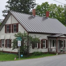
Montpelier Historic District is an area in Vermont's capital city with buildings from different periods that show varying architectural styles and together form the built development of the city. The architecture ranges from Federal-era structures to later-constructed houses that document the city's growth across several decades.
Montpelier was chartered in 1781 and named the state capital in 1805, largely for its central location and access to roads and waterways. State Street became the axis between the state complex and the town center, and the town was made county seat in 1811. The railroad arrived in 1849, the economy boomed after the Civil War, and the town was reincorporated as a city in 1895. Growth slowed after World War I with the automobile and suburbanization.
The buildings show how early residents and craftspeople shaped the city through local construction practices that blended practical needs with regional preferences. You can see these choices today in the details of facades and how structures relate to one another on the street.
The district is compact and best covered on foot, but the terrain is hilly: Main Street bends east at Elm Street where the surrounding slopes constrain it. Orient yourself by the two rivers, with State Street running west to the State House and Barre and Berlin Streets heading east. The central business district lies mainly northeast of the Winooski and North Branch confluence.
Some of the oldest buildings in this area date from a time when the city was not yet officially Vermont's capital, but took on that role only later. These houses show how the settlement gradually gained importance before the political decision came that led to later city growth.
The community of curious travelers
AroundUs brings together thousands of curated places, local tips, and hidden gems, enriched daily by 93,342 contributors worldwide.