Manistee National Forest, National forest in Lower Peninsula, Michigan, United States.
Manistee National Forest is a 540,187-acre national forest in Michigan's Lower Peninsula, made up of a mosaic of forest broken by private land and towns. It lies in parts of nine counties, with red pine the dominant species and large straight rows of planted red pines dating from the 1930s. The Nordhouse Dunes Wilderness, 3,450 acres on the east shore of Lake Michigan, holds dunes 3,500 to 4,000 years old.
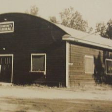
The Manistee National Forest was created in 1938 from tax-forfeited and cutover land after the logging era, when burned areas had not regenerated. President Franklin D. Roosevelt established it, and the Civilian Conservation Corps replanted most of Michigan's barren lands. In 1945 it was combined with the Huron National Forest for administration, though the two units remain separate.
The Manistee River Trail shows how water and forest connect through different landscapes. Walkers pass through wetlands, riverside meadows, and wooded areas that change with the seasons.
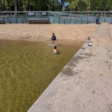
The forest has camping spots, hiking trails, and fishing areas open year-round. Winter visitors can enjoy cross-country skiing and snowmobiling in various parts of the woods.
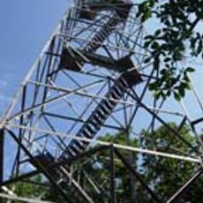
Briar Hill, at 1,706 ft (520 m), is the second-highest point in Michigan's Lower Peninsula, not the highest. No marked trails lead to the summit, which gives only limited views. The footings of an old steel firetower remain, along with a USGS survey marker that misspells the hill as "Brier Hill".
The community of curious travelers
AroundUs brings together thousands of curated places, local tips, and hidden gems, enriched daily by 92,692 contributors worldwide.