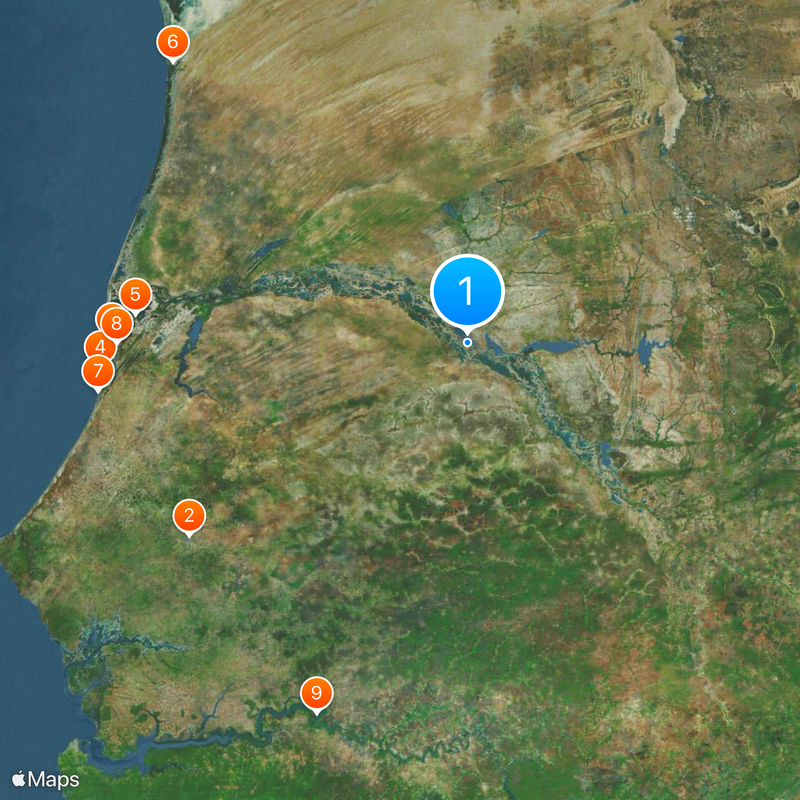
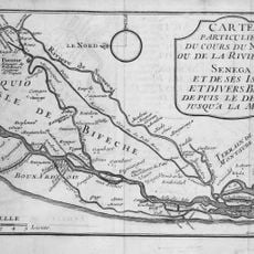
Futa Tooro, Historical territory along Senegal River, Senegal and Mauritania
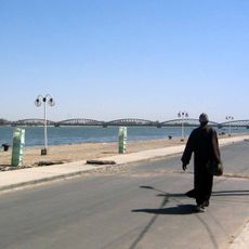
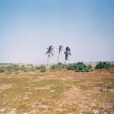
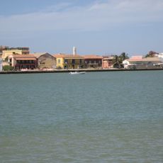
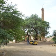
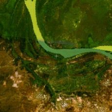
Futa Tooro stretches some 400 kilometers along the Senegal River and forms a fertile strip between Senegal and Mauritania. The region is shaped by the river's seasonal floods, which create rich riverbanks where traditional settlements have developed.
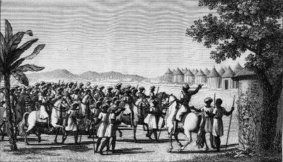
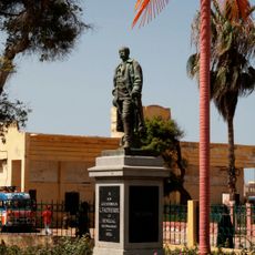
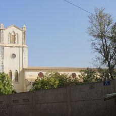
The region emerged as one of West Africa's first Islamic centers in the 11th century, then known as Takrur. It benefited greatly from the trans-Saharan trade networks that moved goods and ideas between Africa and the Mediterranean world.
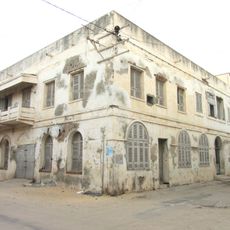
The Haalpulaar'en people, the main group living here, speak Pulaar, a Fula dialect that shapes their identity and keeps their linguistic tradition alive. This language ties communities on both sides of the river and forms the daily life of the region.
Visitors find here agricultural landscapes with traditional methods for rice and millet farming in the fertile riverbanks. The best time to explore is outside the rainy season, when roads are more accessible and villages are active.
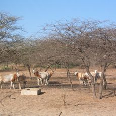
The area is home to several ecosystems along the river, where hippos, crocodiles, and various bird species live. This variety exists because of the flood cycle that creates new habitats year after year.
The community of curious travelers
AroundUs brings together thousands of curated places, local tips, and hidden gems, enriched daily by 60,000 contributors worldwide.