Mauritania, Desert nation in Northwest Africa.
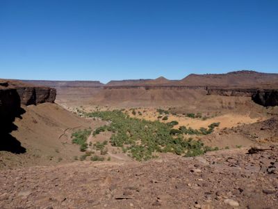
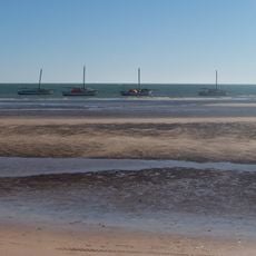
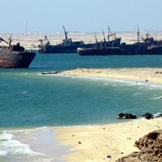
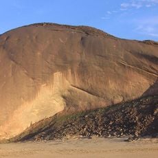
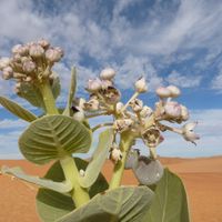
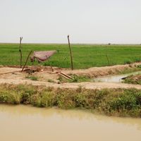
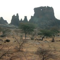
Mauritania is an Islamic Republic in Northwest Africa, where the Atlantic Ocean forms 700 kilometers of coastline along the western border and the Sahara covers 90 percent of national territory. The Adrar Plateau rises across the north above rocky plains, interrupted by oases and seasonal wadis, while the Senegal River marks the southern boundary and enables agricultural production in an otherwise arid landscape.
Berber kingdoms controlled the region for centuries before Arab migration began in the 11th century. French colonial administration started in 1904 and lasted until independence as an Islamic Republic in 1960, with territorial tensions with Western Sahara leading to armed conflict in the 1970s and several military coups disrupting political stability since independence.
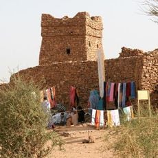
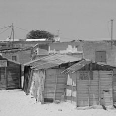
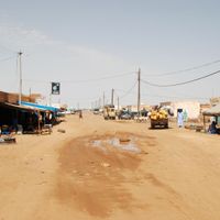
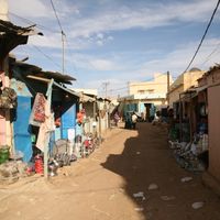
Bidhan communities maintain Arab and Berber traditions, while Haratin groups consist of former enslaved people and their descendants. Traditional nomadic culture gives way to urban settlement, though livestock herding remains central in rural areas, and Islam shapes public life with Arabic and local languages including Pulaar and Soninke spoken across regions.
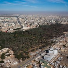
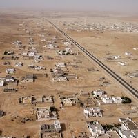
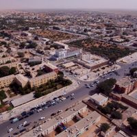
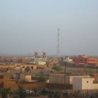
Nouakchott serves as the capital and main entry point through its international airport, with the cooler season from November through February suiting travel best as summer temperatures frequently exceed 45 degrees Celsius (110 degrees Fahrenheit). Visas are available on arrival for most nationalities, and iron ore mining in the north near Zouerate forms the economic backbone with significant extraction facilities operating continuously.
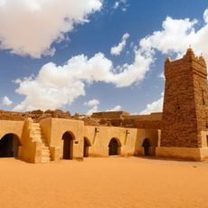
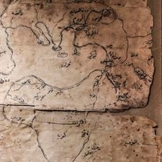
The medieval libraries of Chinguetti preserve thousands of ancient manuscripts from the 8th through 14th centuries. This collection documents Islamic scholarship in theology, astronomy and jurisprudence, with some families maintaining the texts in private holdings for generations despite the dry desert conditions that have helped preserve the parchment.
The community of curious travelers
AroundUs brings together thousands of curated places, local tips, and hidden gems, enriched daily by 60,000 contributors worldwide.