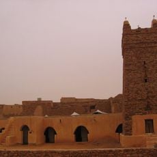
Banc d'Arguin National Park, National park and UNESCO World Heritage Site in Nouadhibou, Mauritania
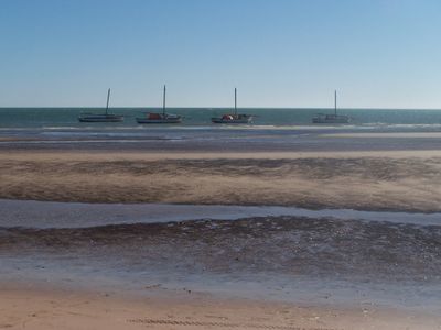
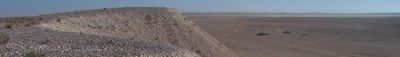
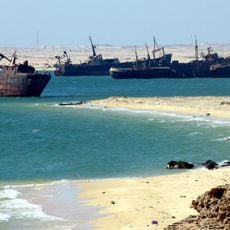
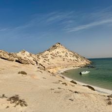
Banc d'Arguin National Park spreads across roughly 12 000 square kilometers of Atlantic coastline and combines beaches, sand dunes, mudflats, and shallow waters positioned between Cape Blanc and Cape Timiris. The terrain shifts between dry land and water areas dotted with islands and sandbars.
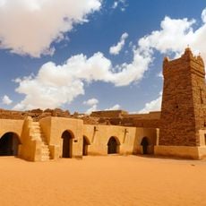
The area became a site of interest for European powers starting in 1455 when the Portuguese built a fortification for trade purposes, followed by Dutch and French involvement in the region. European control ended when France withdrew in 1728, allowing local communities to continue their traditional practices.
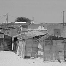
The Imraguen fishing community has inhabited these waters for centuries and practices a distinctive method where dolphins help locate fish schools. You can watch this traditional collaboration happen naturally as the fishermen work along the shoreline.
The park can only be reached by four-wheel-drive vehicle, typically from the highway connecting Nouakchott and Nouadhibou, and visitor facilities are sparse. The village of Iwik provides basic accommodation and serves as a practical base for exploring the area.
More than 3 million coastal birds stop here annually, making it one of the largest bird gathering sites in West Africa. The sheer number of migrating species during peak seasons creates one of the region's most significant bird-watching destinations.
The community of curious travelers
AroundUs brings together thousands of curated places, local tips, and hidden gems, enriched daily by 60,000 contributors worldwide.