
Khashm Maftūl, Berggipfel im Irak
Location: Al Anbar Governorate
GPS coordinates: 33.13417,41.37861
Latest update: September 30, 2025 14:17
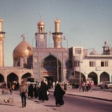
Imam Husayn Mausoleum
254.7 km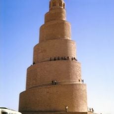
Great Mosque of Samarra
260.6 km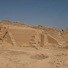
Dura-Europos church
189.2 km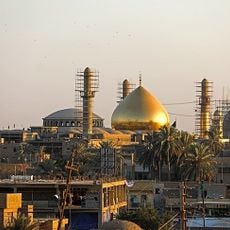
Al-Askari Shrine
259.8 km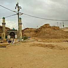
Imam Ali's Dropper Shrine
236.5 km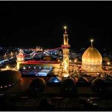
Al Abbas Mosque
255 km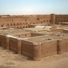
Al-Ukhaidir Fortress
222 km
Armenian Genocide Memorial Church, Der Zor
259.3 km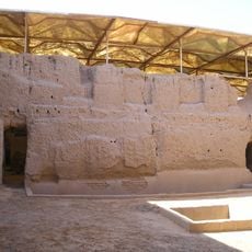
Royal Palace of Mari
164.1 km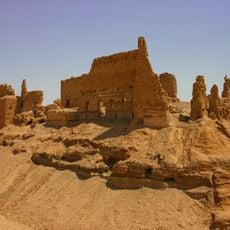
Qalʿat ar-Rahba
226.1 km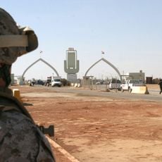
Karameh Border Crossing
226.3 km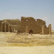
Temple of Bêl
189.8 km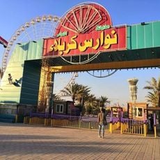
مدينة العاب نوارس كربلاء
250.9 km
Temple of the Gadde
189.3 km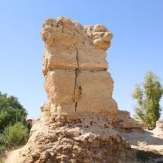
Simeon's Palace
230.8 km
Temple of Artemis Azzanathkona
189.8 km
Temple of Adonis, Dura-Europos
189.4 km
Roman Military Palace
189.7 km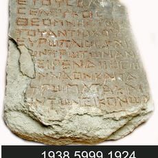
Temple of Zeus Theos
189.2 km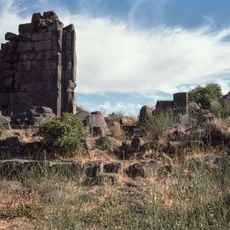
Temple of Zeus Megistos
189.2 km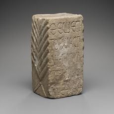
Temple in Block X7
189.7 km
Temple of Atargatis
189.2 km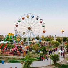
Sindibad Amusement Park
183.2 km
Palmyrene Gate
189.3 km
Temple of Ishtar
164.2 km
النادي الملكي
183.1 km
Temple of Artemis Nanaia
189.2 km
Praetorium of Dura-Europos
189.7 kmReviews
Visited this place? Tap the stars to rate it and share your experience / photos with the community! Try now! You can cancel it anytime.
Discover hidden gems everywhere you go!
From secret cafés to breathtaking viewpoints, skip the crowded tourist spots and find places that match your style. Our app makes it easy with voice search, smart filtering, route optimization, and insider tips from travelers worldwide. Download now for the complete mobile experience.

A unique approach to discovering new places❞
— Le Figaro
All the places worth exploring❞
— France Info
A tailor-made excursion in just a few clicks❞
— 20 Minutes