Kota Tinggi, human settlement in Malaysia
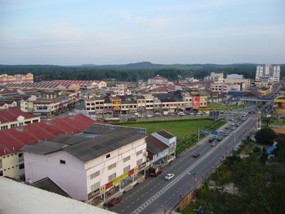
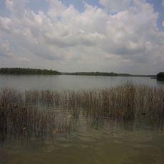
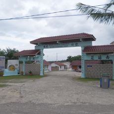
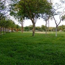
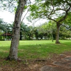
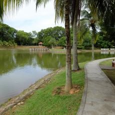
Kota Tinggi is a town in Johor, Malaysia, situated in a region with mountains, rivers, and coastal areas nearby. It features old buildings and small shops along quiet streets where daily life moves at an unhurried pace.
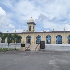
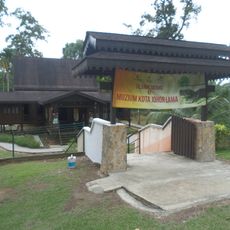
The town served as a major stronghold of the Johor Sultanate and played a central role in controlling the region. Its strategic importance as a trading post and fort left marks in the form of tombs and architectural remnants still visible today.
The name Kota Tinggi means 'high fort' and reflects its past as a stronghold of the Johor Sultanate. This heritage shapes how people today treat the old tombs and ruins scattered throughout the town as important markers of regional identity.
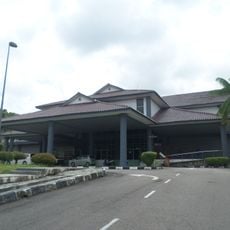
The nearest airport is about 50 kilometers away, with bus connections also available from distant cities. The best time to visit is between February and March when weather conditions are most favorable, and simple hotels and homestays provide adequate lodging options.
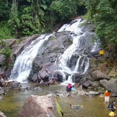
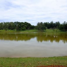
The Kota Tinggi Waterfalls comprise two cascades, with the smaller one easily accessible while the larger sits further along the trail. This dual structure allows visitors to adjust their effort and preference when exploring.
The community of curious travelers
AroundUs brings together thousands of curated places, local tips, and hidden gems, enriched daily by 60,000 contributors worldwide.