Enable Location

We need your location to show you interesting places around you

Discover nearby places

Find interesting locations and hidden gems around you

Precise directions

Get accurate directions and distances to places

Your location is never shared with other users. It's only used when you tap the location button.

Log in to your account

Start exploring — it's free

Trusted by 61,817 travelers worldwide

Continue with Google
Continue with Apple
or

We will send you a code to connect

By continuing, you accept our Terms and Conditions and our Privacy Policy

Check your inbox

We've sent a pincode in your inbox. Please enter the code below.

Batu Pahat District, Administrative district in Johor, Malaysia.

Description

Batu Pahat District is an administrative region in southern Johor comprising 525 villages organized into fourteen smaller administrative divisions. These areas, including places like Bagan and Sri Gading, form the backbone of the district, with Bandar Penggaram serving as its administrative center.

History

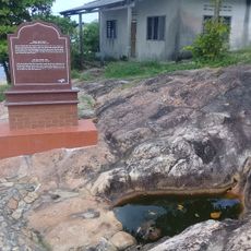
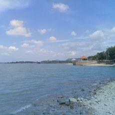
The district received its name from quarries located near the river estuary that were once a defining feature of the area. During the Malayan Emergency period, the region also served as an important military base for operations in the region.

Culture

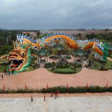
The district is home to Malay, Chinese, and Indian communities that celebrate their own festivals and traditions throughout the year. These different groups shape daily life and create an environment where you can witness various customs and religious practices across the neighborhoods.

Practical

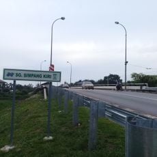
The administrative center Bandar Penggaram is located around 240 kilometers south of Kuala Lumpur and is connected to nearby towns Muar and Kluang through road networks. Travel within the district is straightforward, with good roads connecting the various villages and administrative areas for exploration.

Did you know?

Each of the fourteen administrative divisions is led by a village head who reports directly to their subdistrict chief. This local governance system ensures that small communities have direct input into administrative decisions affecting their neighborhoods.

Location
Shares border with
Kluang
GPS coordinates
1.84732,102.93471
Latest update
December 20, 2025 13:19

AroundUs brings together thousands of curated places, local tips, and hidden gems, enriched daily by 60,000 contributors worldwide. Discover all places nearby (Johor).

« Batu Pahat District - Administrative district in Johor, Malaysia » is provided by Around Us (aroundus.com). Images and texts are derived from Wikimedia project under a Creative Commons license. You are allowed to copy, distribute, and modify copies of this page, under the conditions set by the license, as long as this note is clearly visible.

Discover hidden gems everywhere you go!

From secret cafés to breathtaking viewpoints, skip the crowded tourist spots and find places that match your style. Our app makes it easy with voice search, smart filtering, route optimization, and insider tips from travelers worldwide. Download now for the complete mobile experience.

Around Us App Screenshot

A unique approach to discovering new places

Le Figaro

All the places worth exploring

France Info

A tailor-made excursion in just a few clicks

20 Minutes

Around Us
Travel Guide & Maps
Download

Send to your phone

QR Code
1

Open the camera app on your mobile.

2

Point at the QR code with your camera. A notification will appear.

3

Tap the notification to open the link.