Canillo, Administrative parish in northern Andorra
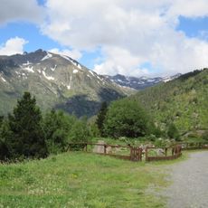
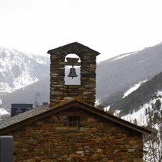
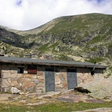
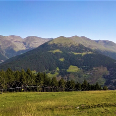
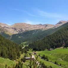
Canillo is an administrative parish in northern Andorra that spans multiple elevations across a mountain landscape. The settlement encompasses around fifteen distinct communities spread from lower valleys to higher alpine areas.
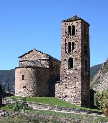
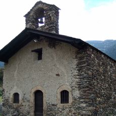
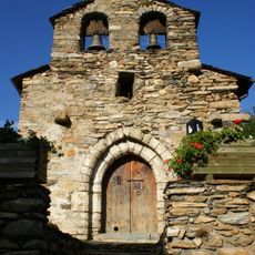
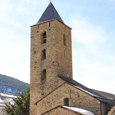
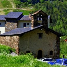
Canillo was established as an administrative area during medieval times and maintained its role as Andorra's northernmost parish across centuries. The parish developed from small settlements that adapted to the harsh conditions of the mountain region.
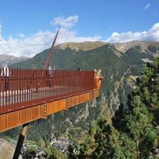
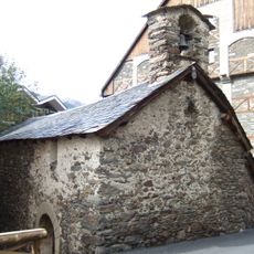
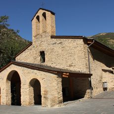
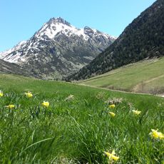
The parish takes its name from an old settlement, and the way locals maintain their mountain way of life shapes how the place feels today. You can see this in the small communities scattered across different elevations, each with their own character and local identity.
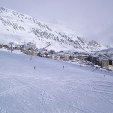
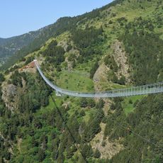
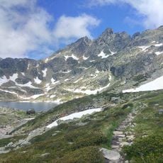
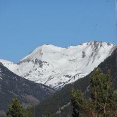
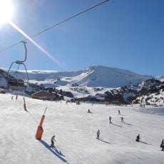
The parish sits along the CG-2 road, which connects major transportation links and provides access to local services throughout the area. Visitors should prepare for mountainous terrain and changing weather typical of higher Andorran regions.
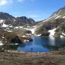
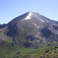
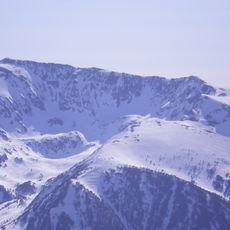
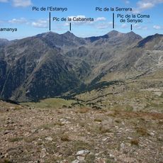
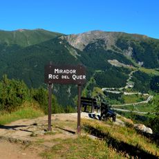
The parish contains several places including Bordes d'Envalira and Molleres that rank among the highest inhabited areas in Andorra. This extreme elevation makes the region a striking example of human settlement in the Pyrenees.
The community of curious travelers
AroundUs brings together thousands of curated places, local tips, and hidden gems, enriched daily by 60,000 contributors worldwide.