Enable Location

We need your location to show you interesting places around you

Discover nearby places

Find interesting locations and hidden gems around you

Precise directions

Get accurate directions and distances to places

Your location is never shared with other users. It's only used when you tap the location button.

Pic de Ransol

Log in to your account

Start exploring — it's free

Trusted by 62,430 travelers worldwide

Continue with Google
Continue with Apple
or

We will send you a code to connect

By continuing, you accept our Terms and Conditions and our Privacy Policy

Check your inbox

We've sent a pincode in your inbox. Please enter the code below.

Pic de Ransol

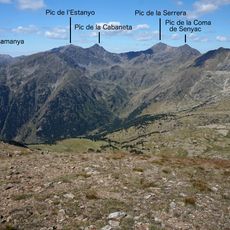
Pic de Ransol, Mountain summit in Canillo, Andorra and Aston, France.

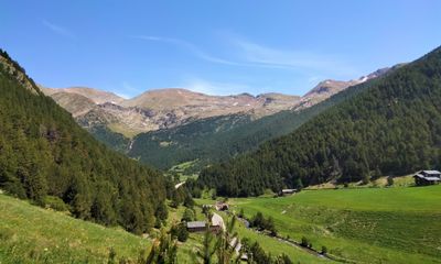
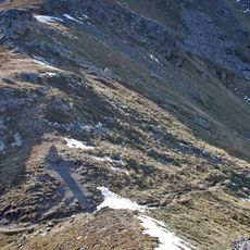
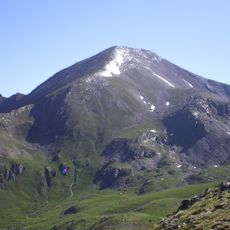
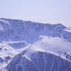
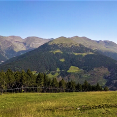
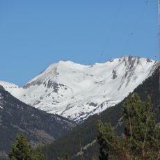
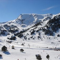
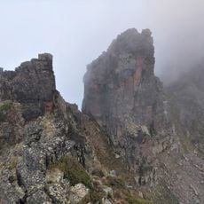
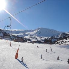
Pic de Ransol is a mountain summit in the Pyrenees marking the border between Andorra and France, standing at 2,732 meters above sea level. Marked trails approach the peak from both the Andorran and French sides, with the primary route starting from Ransol village on the Andorran side.

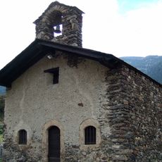
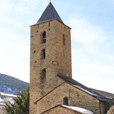
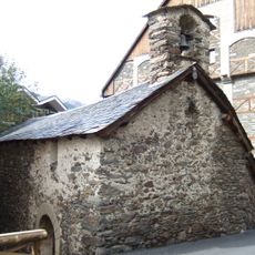
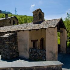
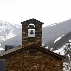
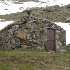
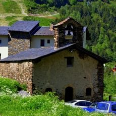
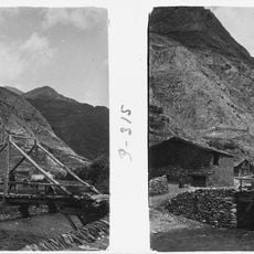
Evidence of ancient settlements near the peak indicates that mountain communities have lived in these valleys since early times. The border location between these two countries has shaped how the region developed across centuries.

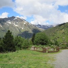
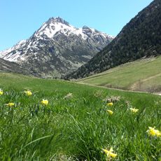
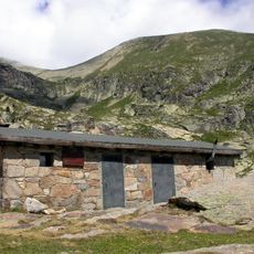
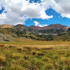
Shepherds have grazed sheep on the slopes for generations, a practice that shapes how the mountain is used today on both the Andorran and French sides. This pastoral tradition remains visible in the landscape and the management of the grasslands.

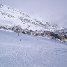
The climb can take several hours depending on which route you choose, so wear good hiking boots and bring weather-resistant clothing. The weather at this elevation changes quickly, so plan for wind and cold even on sunny days and bring enough water for the hike.

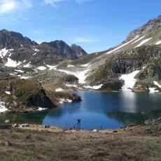
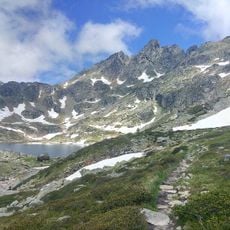
Two glacial lakes sit along the climbing route at different elevations, including Ransol and Meners de la Coma, creating serene stops on the way up. These natural water basins often mirror the sky and offer a refreshing pause during the hike.

The community of curious travelers

AroundUs brings together thousands of curated places, local tips, and hidden gems, enriched daily by 60,000 contributors worldwide.

Start exploring
Location
Location
Elevation above the sea
2,732 m
Part of
Vall de Ransol
GPS coordinates
42.62637,1.65315
Latest update
December 15, 2025 13:29
« Pic de Ransol - Mountain summit in Canillo, Andorra and Aston, France » is provided by Around Us (aroundus.com). Images and texts are derived from Wikimedia project under a Creative Commons license. You are allowed to copy, distribute, and modify copies of this page, under the conditions set by the license, as long as this note is clearly visible.

Discover hidden gems everywhere you go!

From secret cafés to breathtaking viewpoints, skip the crowded tourist spots and find places that match your style. Our app makes it easy with voice search, smart filtering, route optimization, and insider tips from travelers worldwide. Download now for the complete mobile experience.

Around Us App Screenshot

A unique approach to discovering new places

Le Figaro

All the places worth exploring

France Info

A tailor-made excursion in just a few clicks

20 Minutes

Around Us
Travel Guide & Maps
Download

Send to your phone

QR Code
1

Open the camera app on your mobile.

2

Point at the QR code with your camera. A notification will appear.

3

Tap the notification to open the link.