Geography of Andorra, Mountain territory in southwestern Europe.
Andorra's geography is entirely shaped by the Pyrenees mountains, with three valleys converging into the Gran Valira river system. The average elevation stands around 2000 meters, making the entire country mountainous terrain.
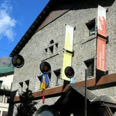
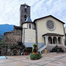
The territory received its charter from Charlemagne in 803, placing it under special protection. A treaty from 1278 later established the unusual joint rule between France and Spain that continues to this day.
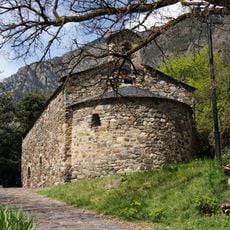
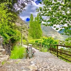
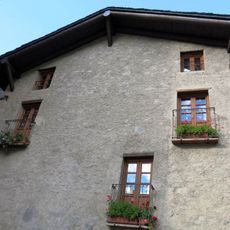
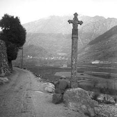
The Madriu-Perafita-Claror valley displays traditional mountain farming and glacial landscapes shaped over centuries. Visitors can observe historical cultivation methods and traces of earlier ways of life written into the land.
The mountainous terrain with an average elevation of around 2000 meters requires good physical fitness for hiking and exploration. Trails are often steep and wind through valleys and mountain passes, so visitors should wear sturdy footwear and bring proper gear.
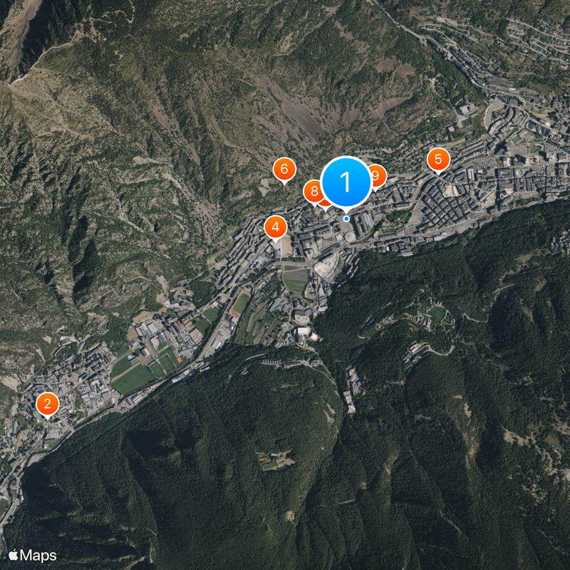
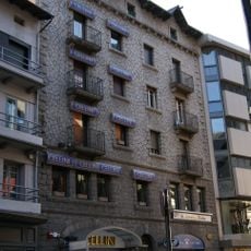
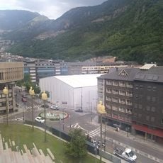
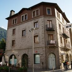
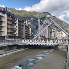
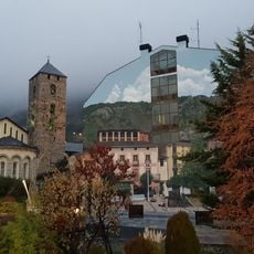
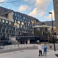
Andorra la Vella sits at roughly 1023 meters elevation, making it Europe's highest capital city. The country is further defined by around 172 mountain lakes found throughout the high elevations.
The community of curious travelers
AroundUs brings together thousands of curated places, local tips, and hidden gems, enriched daily by 60,000 contributors worldwide.