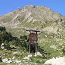
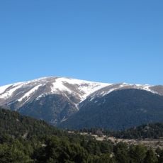
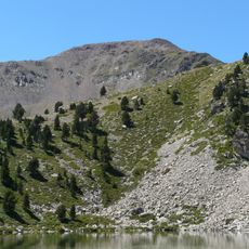
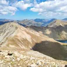
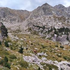
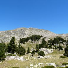
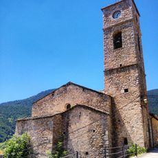
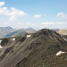
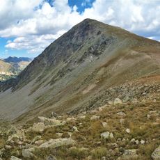
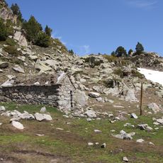
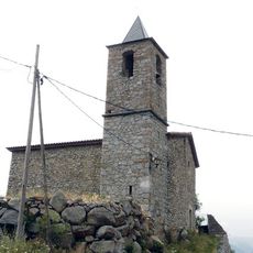
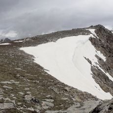
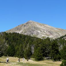
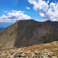
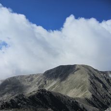
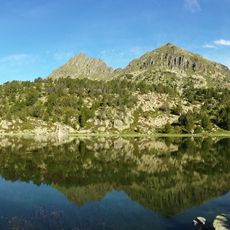
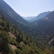
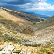
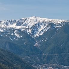
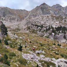
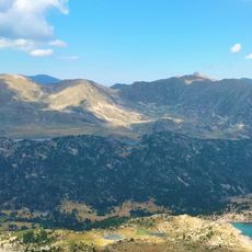
Pic de la Portelleta, Mountain summit in the eastern Pyrenees, Catalonia, Spain.
Pic de la Portelleta, also called Tossa Plana de Lles, is a 2,905-metre peak on the Andorran border, the highest point of Baixa Cerdanya and the second highest of all Cerdanya after the Carlit. Its two names come from the two slopes: Tossa Plana de Lles in Cerdanya, Pic de la Portelleta on the Andorran side. It is one of the few Andorran summits above 2,900 metres.
The area has been crossed and settled since ancient times, as archaeological finds in the region show. The mountain served as a natural boundary point between developing territories on both sides of the Pyrenees.
The mountain carries two names: Tossa Plana de Lles on the Cerdanya side and Pic de la Portelleta on the Andorran side, a double toponymy typical of massifs with clearly separated slopes. It is listed among the 100 cims of the FEEC under the name Tossa Plana de Lles (Pic de la Portelleta), a peak-bagging list followed by Catalan hikers.
The summit lies on the border ridge between Escaldes-Engordany (Andorra) and Lles de Cerdanya, reached on foot only; approach from the Andorran or Cerdanya side and allow a full day. Above roughly 2,900 m the ground is open and exposed, so carry water and windproof layers and turn back if cloud builds.
The summit sits on the border between Spain and Andorra and ranks among the highest points in the small principality. Climbers standing here are actually positioned on two countries at the same time.
The community of curious travelers
AroundUs brings together thousands of curated places, local tips, and hidden gems, enriched daily by 92,666 contributors worldwide.