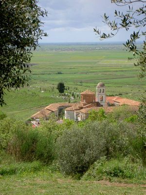
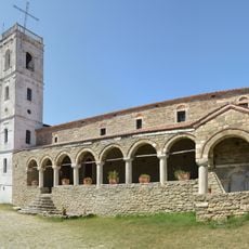
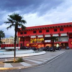
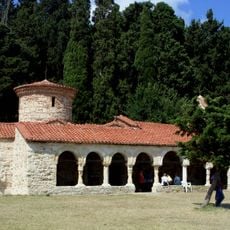
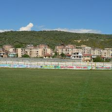
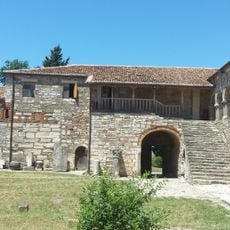
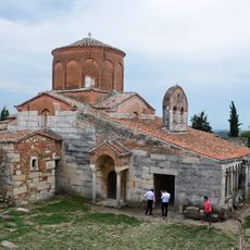
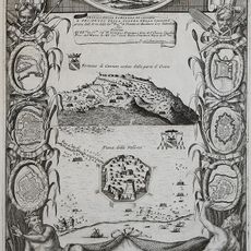
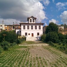
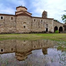
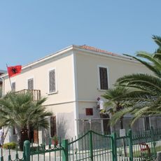
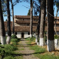
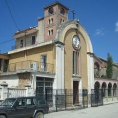
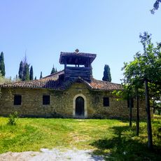
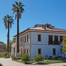
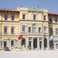
Fier District, former geographic subdivision of Albania
Location: Fier County
Capital city: Fier
Elevation above the sea: 10 m
GPS coordinates: 40.70000,19.53333
Latest update: April 19, 2025 22:22
Ardenica Monastery
35.2 km
Divjakë-Karavasta National Park
28.2 km
Kaninë Castle
28.4 km
Flamurtari Stadium
27.4 km
St. Mary's Monastery, Zvërnec
23.2 km
Abdurrahman Roza Haxhiu Stadium
30.1 km
Museum of Apollonia
5.7 km
Vjosa-Narta Protected Landscape
18.1 km
Independence Monument
25.8 km
Fier Mosque
3.5 km
St. Cosmas' and St. Mary's Church, Kolkondas
11.5 km
St. Mary's Monastery
5.7 km
Skela Castle
27.6 km
Congress of Lushnjë Museum
30.6 km
Monastery of Saint Kozma, Kolkondas
11.5 km
National Museum of Independence
27.9 km
Varri Monumental i Ismail Qemalit
23.8 km
St. Nicholas Church, Krutje e Sipërme
23.7 km
Mosque of Neshat Pashaj
25.7 km
Shën Thanas church
20.1 km
Kisha Katolike
25.8 km
Saint Nicolas Church
16.4 km
Home of Eqerem Bey Vlora
25.9 km
Godina e Bashkisë së Vlorës
23.4 km
Vjosë-Nartë Delta Protected Area
14.5 km
Mbeturinat e Kishes Paleikristiane të Shën Marisë
20.5 km
Apollonia Odeon
5.6 km
Sanctuary by the Odeon in Apollonia
5.6 kmReviews
Visited this place? Tap the stars to rate it and share your experience / photos with the community! Try now! You can cancel it anytime.
Discover hidden gems everywhere you go!
From secret cafés to breathtaking viewpoints, skip the crowded tourist spots and find places that match your style. Our app makes it easy with voice search, smart filtering, route optimization, and insider tips from travelers worldwide. Download now for the complete mobile experience.
A unique approach to discovering new places❞
— Le Figaro
All the places worth exploring❞
— France Info
A tailor-made excursion in just a few clicks❞
— 20 Minutes