Albania, Country in Southeast Europe
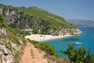
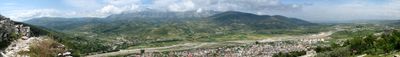
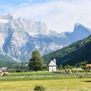
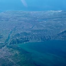
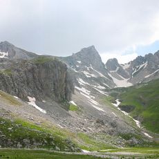
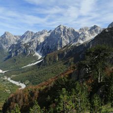
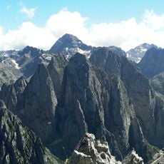
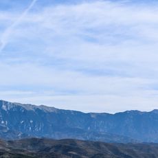
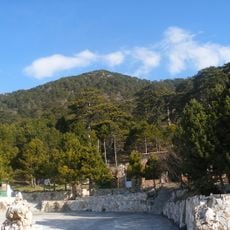
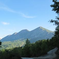
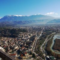
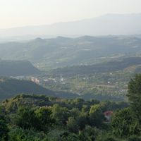
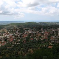
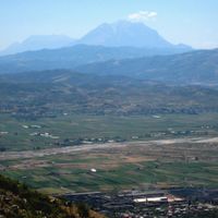
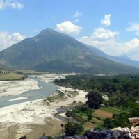
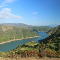
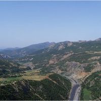
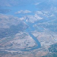
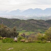
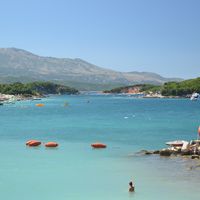
Albania is a state in the Balkans between Montenegro, Kosovo, North Macedonia, and Greece with coastline on the Adriatic and Ionian Seas across 28,748 square kilometers. The terrain consists of mountains and highlands with the Albanian Alps reaching above 2,500 meters, while rivers like Drin, Vjosa, and Shkumbin run through deep valleys toward the coast.
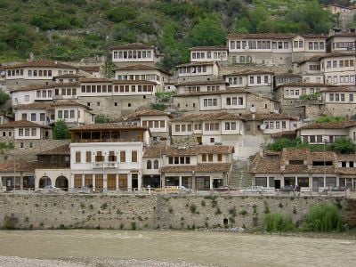
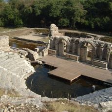
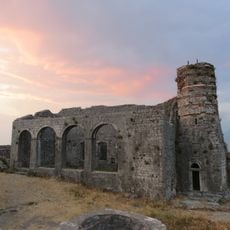
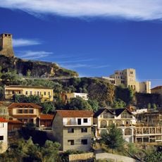
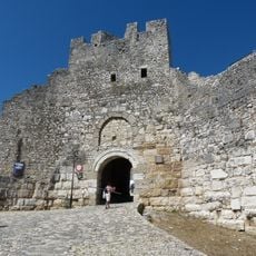
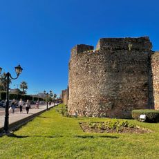
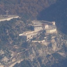
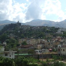
Illyrian tribes inhabited the territory before Roman conquest in the 2nd century BCE, followed by Byzantine rule from 395. The Ottoman Empire controlled the region from 1385 until independence in 1912, before King Zog I ruled from 1928 until Italian invasion in 1939 and Enver Hoxha established a communist system in 1944 that lasted until 1991.
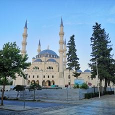
The state emblem shows a black double-headed eagle on red, a symbol from the 15th century under Skanderbeg. Iso-polyphony from the south appears on UNESCO's list of intangible heritage since 2005, and in mountain areas the Kanun customary code operates alongside state law.
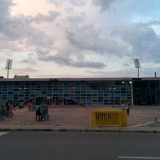
The official currency is the Albanian Lek (ALL), though euros are often accepted in tourist areas. Intercity buses run from the regional bus terminal in Tirana to all major cities with regular connections to Shkodra, Durrës, Berat, and southern destinations, while the international airport lies 17 kilometers northwest of the capital.
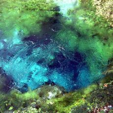
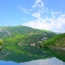
Over 750,000 bunkers from 1967 to 1986 shape the landscape and some have been converted into cafes, hostels, or art galleries. The Vjosa counts among Europe's last free-flowing rivers without dams across its entire length from source in Greece to mouth at the Adriatic Sea.
The community of curious travelers
AroundUs brings together thousands of curated places, local tips, and hidden gems, enriched daily by 60,000 contributors worldwide.