Fier County, Administrative division in western Albania
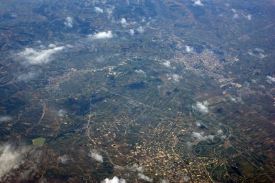
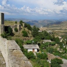
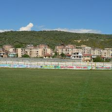
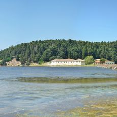
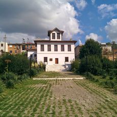
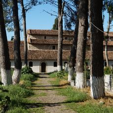
Fier County is an administrative division in western Albania spanning six municipalities between the coast and inland mountain ranges. The territory contains both flat agricultural plains and steeper terrain, creating a landscape of mixed farmland and settlements.
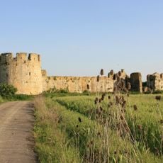
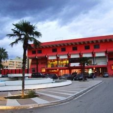
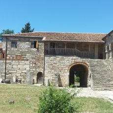
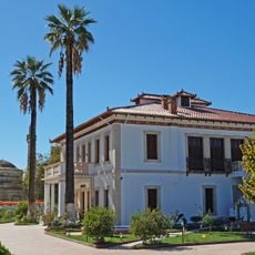
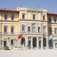
During Ottoman rule, the region developed as a commercial hub connecting coastal ports with inland trading centers. This role as a crossroads shaped how the settlements and towns grew over centuries.
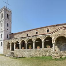
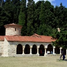
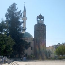
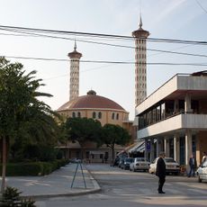
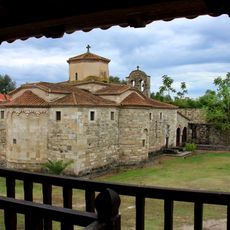
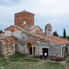
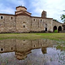
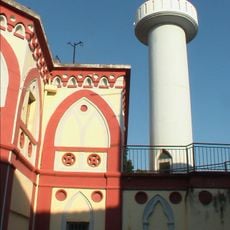
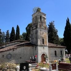
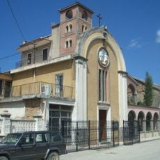
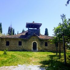
People of different faiths coexist across the region, with mosques and churches visible throughout the towns and villages. Traditional practices remain embedded in daily life, especially in smaller communities where older ways of working the land persist.
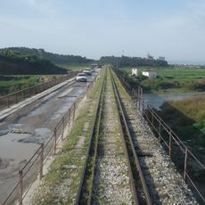
An extensive road network connects the six municipalities throughout the region, making travel between towns relatively straightforward. Most visitors move around by car or local buses that link the various communities.
Natural gas deposits have been documented in this area since ancient times, making it one of Europe's oldest known locations of such resources. This geological feature has influenced economic activities in the region for centuries.
The community of curious travelers
AroundUs brings together thousands of curated places, local tips, and hidden gems, enriched daily by 60,000 contributors worldwide.