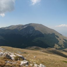
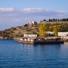
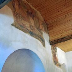
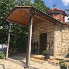
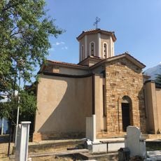
Galičica, Mountain summit in Galičica National Park, North Macedonia
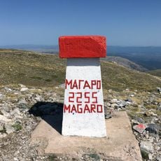
Galičica is a mountain spanning the border between North Macedonia and Albania, with its highest point, Magaro, reaching 2,255 metres. The Macedonian side is protected as Galičica National Park, covering 227 square kilometres between Lake Ohrid and Lake Prespa. The massif is divided into four parts, including Stara Galičica in the south, where two glacial cirques lie at 2,030–2,070 and 1,850–1,900 metres.
Galičica's Macedonian side was declared a national park in 1958, covering 22,750 hectares between Lake Ohrid and Lake Prespa. The mountain's limestone bedrock, 500–550 m thick and overlying Palaeozoic metamorphic silicates, gives it the karst forms of the Dinaric system. Forest cover grew from about 40% in the 1950s to 58% by 2007 as pasture fell from 50% to 24%.
The mountain's name appears in two forms: Galičica in Macedonian and Mali i Thatë, meaning "dry mountain", in Albanian. The limestone bedrock makes Galičica one of the driest mountains in North Macedonia, with only a few permanent springs of very low yield in its upland; springs that appear after snowy winters dry up in summer. The four karst fields on the plateau at about 1,400 m in the central Galičica section are named features a walker can pick out.
The limestone bedrock makes Galičica one of North Macedonia's driest mountains: only a few permanent springs exist in its upland, and some springs that appear after snowy winters dry up in summer. Carry all the water you need. The Ohrid shore, by contrast, is rich in springs, notably at the Sveti Naum monastery complex.
From the summit you can see two lakes at different elevations lying side by side, creating an unusual geographic view. This arrangement makes the panorama from the peak particularly memorable for visitors.
The community of curious travelers
AroundUs brings together thousands of curated places, local tips, and hidden gems, enriched daily by 93,467 contributors worldwide.