
Meghvahovit, village in Lori Province of Armenia
Location: Lori Region
Elevation above the sea: 1,670 m
GPS coordinates: 41.11667,44.15389
Latest update: March 4, 2025 17:26
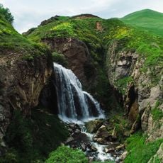
Trchkan waterfall
22.6 km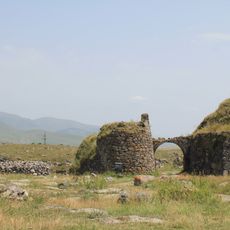
Lori Berd Fortress
26.5 km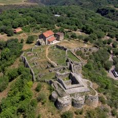
Dmanisi historic site
28.1 km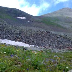
Achqasar
16.9 km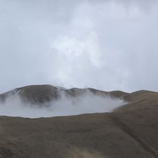
Urasar
15.8 km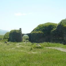
Loré
26.6 km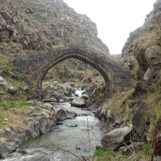
Lori Fortress Bridge
26.4 km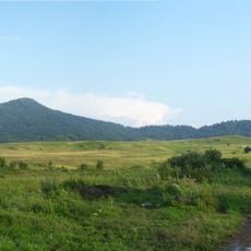
Arjasar
25.7 km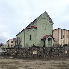
Dmanisi Pentecostal Church
24.2 km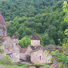
Northern Armenia
28.4 km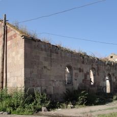
Church of Saint John of Metsavan
11.2 km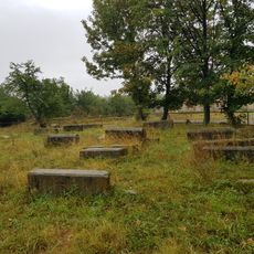
Cemetery at Red Monastery, Lejan
27.2 km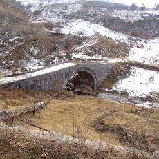
Yaghdan bridge
17.9 km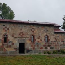
Red Monastery, Lejan
26.5 km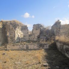
Kaqavasar Karmravor church
24.2 km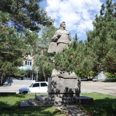
Ghukas Ghukasyan memorial
26.1 km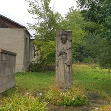
Memorial to WWII victims, Agarak, Lori
29 km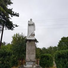
WW2 Monument Lejan, Lori
26.4 km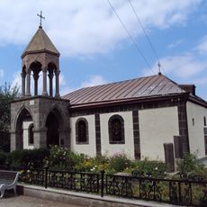
Եկեղեցի Սբ. Սարգիս
23.5 km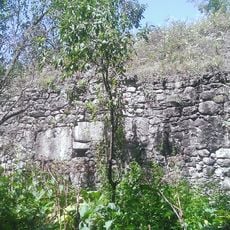
Დმანისის სასაფლაოს ეკლესია
23.8 km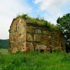
Მამიშლოს ბირინჯი ქიღმას ეკლესია
22.5 km![Დმანისის ნაქალაქარი დმანისის სიონი]], პატარა დმანისის წმინდა მარინეს ეკლესია, სამრეკლო, გალავანი, აბანო და სხვა ნაგებობანი.](https://img8.digsty.com/uB1utVFsynr8dFiHP8uYUCmPjOGlR0BpIFQRh1nbBu0/rs:fill:230:230:1/g:fp:0.5:0.5/czM6Ly9hcm91bmR1cy8xNC83NjM1NjY2LThhMGJjNDZkLmpwZw.jpg)
Დმანისის ნაქალაქარი დმანისის სიონი]], პატარა დმანისის წმინდა მარინეს ეკლესია, სამრეკლო, გალავანი, აბანო და სხვა ნაგებობანი.
29.1 km
Საკირის ყიზილ-ქილისის ეკლესია
19.7 km
Ქვემო ოროზმანის ეკლესია
21.5 km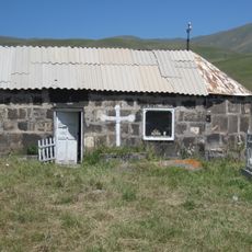
Tukh Manuk chapel in Kakavasar
24 km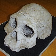
Dmanisi Hominid Archaeological Site
28.9 km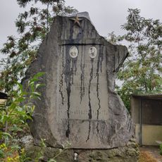
World War II memorial spring in Agarak
28.2 km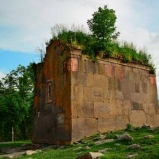
Ზემო ოროზმანის ეკლესია
21.5 kmVisited this place? Tap the stars to rate it and share your experience / photos with the community! Try now! You can cancel it anytime.
Discover hidden gems everywhere you go!
From secret cafés to breathtaking viewpoints, skip the crowded tourist spots and find places that match your style. Our app makes it easy with voice search, smart filtering, route optimization, and insider tips from travelers worldwide. Download now for the complete mobile experience.

A unique approach to discovering new places❞
— Le Figaro
All the places worth exploring❞
— France Info
A tailor-made excursion in just a few clicks❞
— 20 Minutes