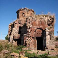
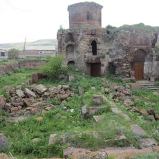
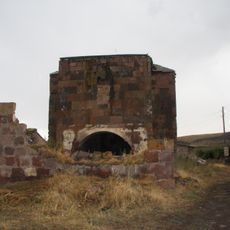
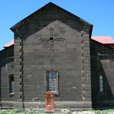
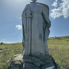
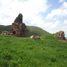
Horom Citadel, Bronze Age fortress in Shirak Province, Armenia.
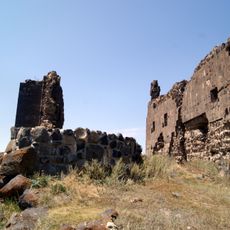
Horom Citadel is a Bronze Age fortress in Shirak Province that spans two major hilltops connected by fortified walls built from large stone blocks. The site contains two distinct defense areas separated by a valley, creating a layered settlement pattern across the landscape.
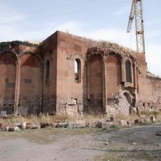
The fortress began as a Bronze Age settlement and remained occupied through the Urartian period, spanning roughly a thousand years of continuous habitation. Each era of occupation left traces through pottery and tools that reveal how the region maintained importance across multiple civilizations.
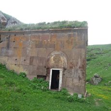
The fortress served as a crucial settlement point for communities in this mountainous region, using the hilltop location for safety and control of the surrounding lands. The ruins show how ancient inhabitants shaped their world through stone construction and strategic positioning to protect themselves.
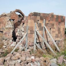
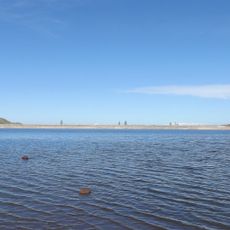
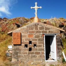
The site sits roughly one kilometer east of Horom village and is reachable via the main road opposite Kamut Reservoir. Visitors should wear sturdy footwear since the terrain is uneven and parts of the site remain open from ongoing excavations.
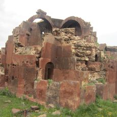
The site forms part of a larger defense network with two other Urartian forts nearby at Ghak and Shvaghtapa, suggesting this area was systematically controlled and protected. The pattern of these three fortifications across the landscape reveals how ancient powers organized their military presence.
The community of curious travelers
AroundUs brings together thousands of curated places, local tips, and hidden gems, enriched daily by 60,000 contributors worldwide.