
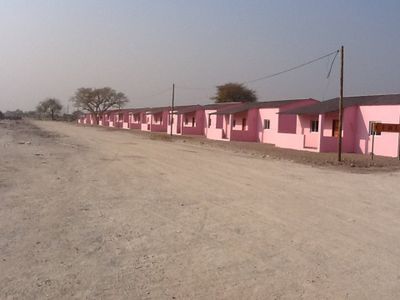
Namakunde, municipality of Angola
Location: Cunene Province
Elevation above the sea: 1,110 m
GPS coordinates: -17.30000,15.85000
Latest update: March 2, 2025 20:24
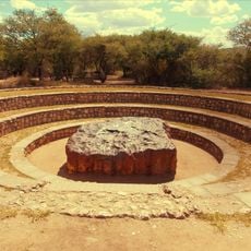
Hoba meteorite
336.9 km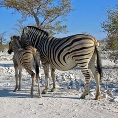
Etosha National Park
171 km
Drachenhauchloch
316.3 km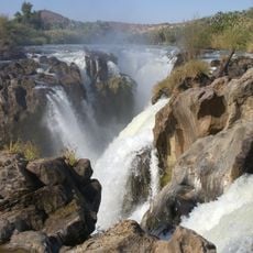
Epupa Falls
279.1 km
Ombalantu Baobab
94.6 km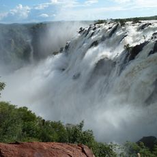
Ruacana Falls
173.7 km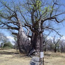
Baobab Tree
316 km
Mupa National Park
156.6 km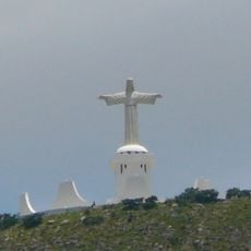
Cristo Rei, Lubango
362.7 km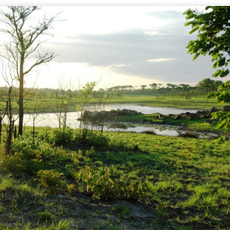
Bicuari National Park
250 km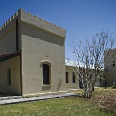
Fort Grootfontein
346.5 km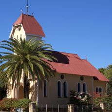
St. Barbara Catholic Church
293 km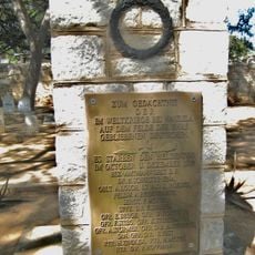
Naulila Monument
314.2 km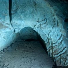
Ghaub Cave
298.9 km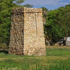
Stone Tower
314.2 km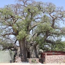
Okahao Baobab
106.3 km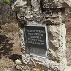
Khorab Memorial
304 km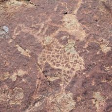
Rock Engravings at Peet Alberts Koppie
276.9 km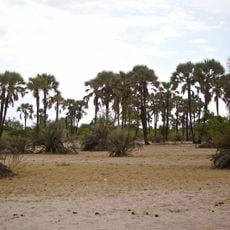
Omhedi Cultural Landscape
22.3 km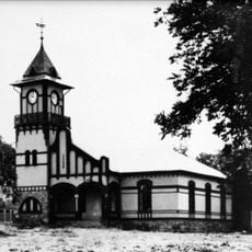
OMEG-Minenbüro
292.8 km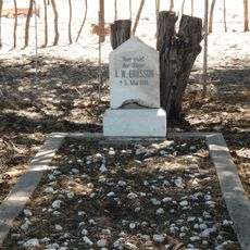
Grave of Axel W Eriksson
345.9 km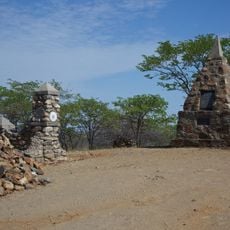
Dorslandtrek-Monument
249 km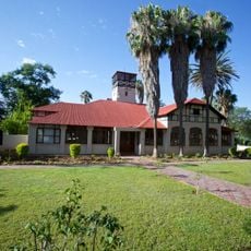
Second Director's House
292.8 km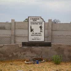
Monument of the Unknown PLAN Soldiers at Outapi
94.7 km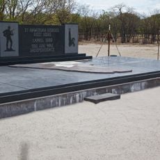
Monument of the Unknown PLAN Soldiers at Ondeshifiilwa
11.1 km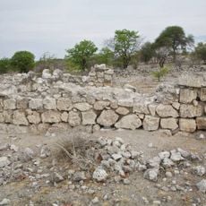
Dorsland Trekker Cottage
232.3 km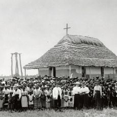
Nakambale House, Church and Cemetery
70.8 km
German Private School
292.8 kmReviews
Visited this place? Tap the stars to rate it and share your experience / photos with the community! Try now! You can cancel it anytime.
Discover hidden gems everywhere you go!
From secret cafés to breathtaking viewpoints, skip the crowded tourist spots and find places that match your style. Our app makes it easy with voice search, smart filtering, route optimization, and insider tips from travelers worldwide. Download now for the complete mobile experience.

A unique approach to discovering new places❞
— Le Figaro
All the places worth exploring❞
— France Info
A tailor-made excursion in just a few clicks❞
— 20 Minutes