
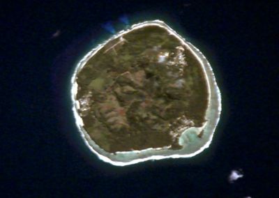
Rimatara, island in France
Location: Rimatara
Elevation above the sea: 83 m
Part of: Austral Islands
GPS coordinates: -22.65000,-152.80000
Latest update: November 10, 2025 12:52
Mont Orohena
658.8 km
Paul Gauguin Museum
656.5 km
Maupihaa
662.3 km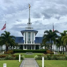
Papeete Tahiti Temple
662.5 km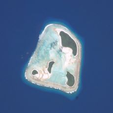
Îles Maria
217.5 km
Papeete Market
661.7 km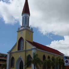
Papeete Cathedral
661.6 km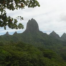
Mount Tohivea
647.3 km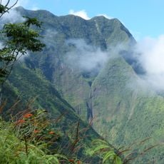
Mont Aorai
658.5 km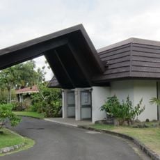
Musée de Tahiti et des Îles
650.2 km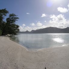
Raivavae
544 km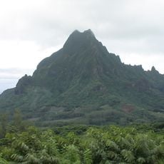
Mont Rotui
650.5 km
Pito Hiti
660.3 km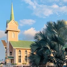
Temple de l'église protestante ma'ohi de Paofai
660.9 km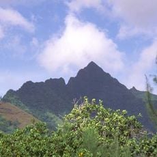
Mt Tautuapae
647.2 km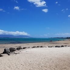
Plage Publique Vaiava
648.6 km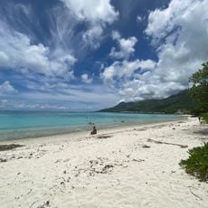
To’atea / Temae Beach
655.6 km
Plage Hokule'a
661 km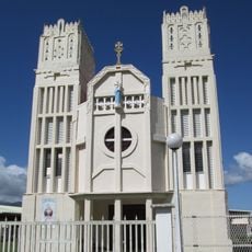
Église du Saint-Cœur-de-Marie de Taravao
658.3 km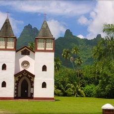
Église de la Sainte-Famille de Haapiti
643.6 km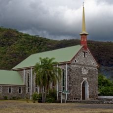
Église Saint-François-Xavier de Paea
646.2 km
Moorea Green Pearl golf course Polynesia
656.7 km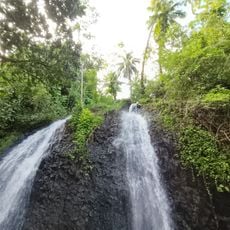
Cascades de Faaone
662.3 km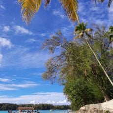
Public Beach Tiahura
648 km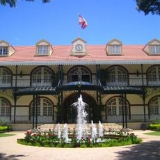
Palais présidentiel de la Polynésie française
661 km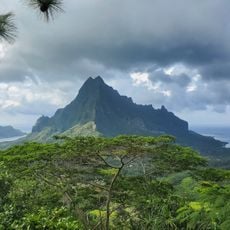
Three Pine Trees Lookout
648.9 km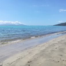
Plage publique de Rohotu
644.7 km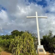
Croix jubilaire
661 kmReviews
Visited this place? Tap the stars to rate it and share your experience / photos with the community! Try now! You can cancel it anytime.
Discover hidden gems everywhere you go!
From secret cafés to breathtaking viewpoints, skip the crowded tourist spots and find places that match your style. Our app makes it easy with voice search, smart filtering, route optimization, and insider tips from travelers worldwide. Download now for the complete mobile experience.

A unique approach to discovering new places❞
— Le Figaro
All the places worth exploring❞
— France Info
A tailor-made excursion in just a few clicks❞
— 20 Minutes