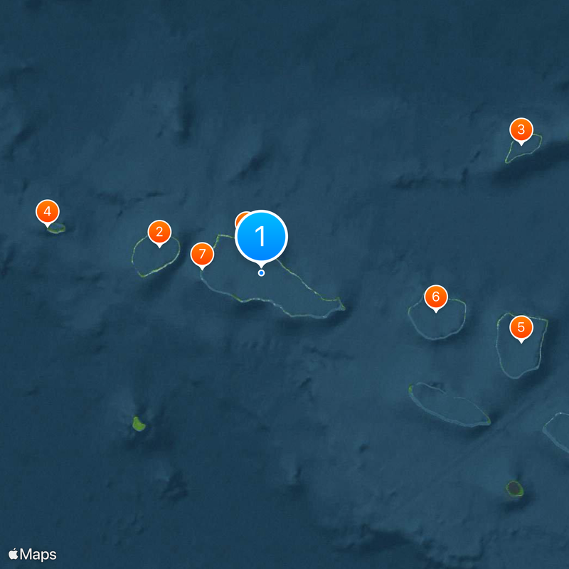
Rangiroa, Maritime boundary in French Polynesia, South Pacific Ocean
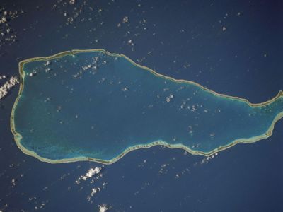
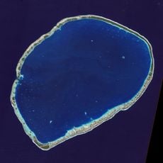
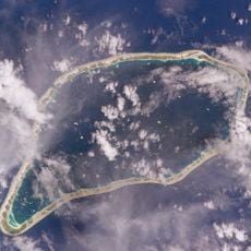
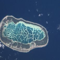
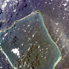
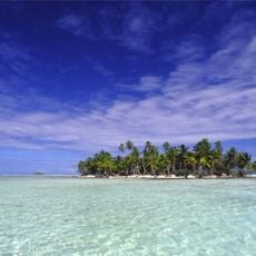
Rangiroa is an atoll in the Tuamotus, French Polynesia, in the South Pacific Ocean, surrounding one of the largest lagoons on the planet. The ring-shaped coral structure consists of more than 240 small islands separated by narrow channels, with only a few navigable passages allowing entry into the interior waters.
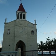
European explorers reached the atoll during the 18th century, though Polynesian navigators had lived on the coral islands for many generations before. French administration established formal maritime boundaries in the 19th century, defining the surrounding waters as part of colonial territory.
The atoll's name comes from the Polynesian 'Ra'iroa', meaning long sky, referring to how the horizon stretches endlessly across the lagoon's surface. Fishermen still use handwoven traps and canoes carved from local timber to harvest parrotfish and grouper in the shallow reef passages.
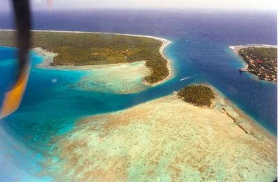
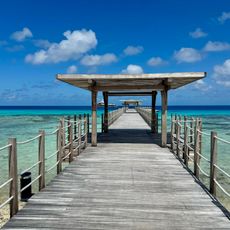
The two main passages, Tiputa and Avatoru, allow boats to enter the lagoon, though currents can vary greatly depending on the tide. Divers and snorkelers should check current conditions in the channels before entering the water.
A small vineyard on Avatoru island produces white wine from grapes grown directly in coral soil and influenced by seawater. The vines thrive just meters from the shore, yielding a salty, mineral taste found nowhere else in Polynesia.
The community of curious travelers
AroundUs brings together thousands of curated places, local tips, and hidden gems, enriched daily by 60,000 contributors worldwide.